Inootrumangalam
Inootrumangalam is a village in Karur district in the Indian state of Tamil Nadu.[1] The village is part of the K. Pettai panchayat and belongs to the Kulithalai sub district.[2]
Inootrumangalam
Inootrumangalam | |
|---|---|
Village | |
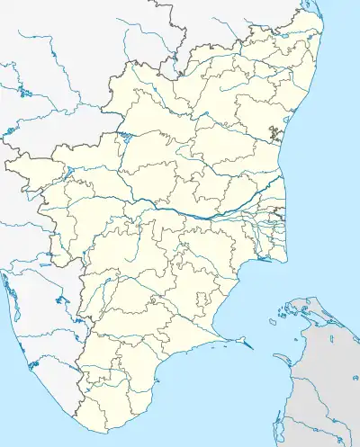 Inootrumangalam Location in Tamil Nadu, India  Inootrumangalam Inootrumangalam (India) | |
| Coordinates: 10.940518°N 78.382344°E | |
| Country | |
| State | Tamil Nadu |
| District | Karur |
| Elevation | 86 m (282 ft) |
| Population (2001) | |
| • Total | 400 |
| Languages | |
| • Official | Tamil |
| Time zone | UTC+5:30 (IST) |
| Vehicle registration | TN-47 |
The recorded history of Inootrumangalam dates from medieval Chola period of the 9th century and has been part of the kingdoms of the medieval and later Cholas, later Pandyas and the Vijayanagar empire, prior to coming under British control and ultimately becoming a part of the Madras state. It is an agricultural village is located on the banks of the Cauvery river.
References
- "பைக்-லாரி மோதல் ஒருவர் பரிதாப பலி". Dinamalar (in Tamil). 13 September 2012. Retrieved 17 September 2013.
- "கே. பேட்டையில் குடும்ப அட்டை குறைதீர்க்கும் நாள் முகாம்". Dinamani (in Tamil). 11 August 2013. Retrieved 17 September 2013.
This article is issued from Wikipedia. The text is licensed under Creative Commons - Attribution - Sharealike. Additional terms may apply for the media files.