Isla Mocha Airport
Isla Mocha Airport (ICAO: SCIM) is an airport on the east side of Isla Mocha, a small Pacific island 32 kilometres (20 mi) off the coast of Chile. Isla Mocha is part of Chile's Bío Bío Region.
Isla Mocha Airport | |||||||||||
|---|---|---|---|---|---|---|---|---|---|---|---|
| Summary | |||||||||||
| Airport type | Public | ||||||||||
| Serves | Isla Mocha | ||||||||||
| Elevation AMSL | 19 ft / 6 m | ||||||||||
| Coordinates | 38°23′05″S 73°52′07″W | ||||||||||
| Map | |||||||||||
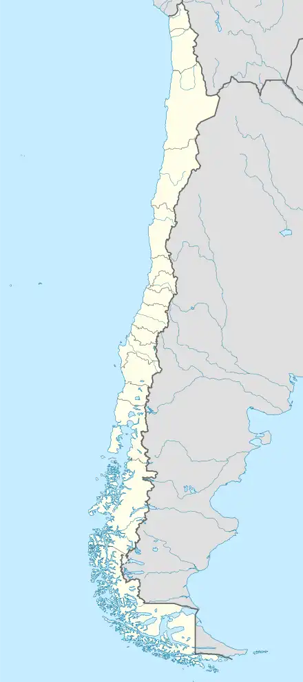 SCIM Location of Isla Mocha Airport in Chile | |||||||||||
| Runways | |||||||||||
| |||||||||||
The airport lies along the shore, and approach and departures are over the water. The island's central hills lie 1 kilometre (0.6 mi) west of the runway.
The Araucania VOR-DME (Ident: NIA) is located 66.3 nautical miles (122.8 km) east-southeast of the airport.[4] There are no published radio navaids on the island.
References
- Airport record for Isla Mocha Airport at Landings.com. Retrieved 2013-09-01
- Google (2013-09-01). "location of Isla Mocha Airport" (Map). Google Maps. Google. Retrieved 2013-09-01.
- Airport information for Isla Mocha Airport at Great Circle Mapper.
- Araucania VOR
External links
- OpenStreetMap - Isla Mocha
- Isla Mocha OurAirports
- FallingRain - Isla Mocha Airport
- Accident history for Isla Mocha Airport at Aviation Safety Network
This article is issued from Wikipedia. The text is licensed under Creative Commons - Attribution - Sharealike. Additional terms may apply for the media files.