Ivanjski Bok
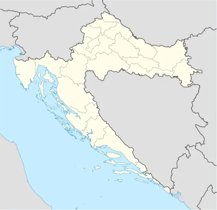
Ivanjski Bok is a village in central Croatia, in the municipality of Sunja, Sisak-Moslavina County. It is located in the Banija region, in the fertile plains on the right bank of the Sava river, to the east of the town of Sunja and some 20 km north-west of village of Jasenovac.
Ivanjski Bok | |
|---|---|
Village | |
 Ivanjski Bok Location of Ivanjski Bok in Croatia | |
| Coordinates: 45°21′14″N 16°44′46″E | |
| Country | |
| Region | Continental Croatia (Banovina) |
| County | |
| Municipality | Sunja |
| Area | |
| • Total | 24.9 km2 (9.6 sq mi) |
| Elevation | 95 m (312 ft) |
| Population (2021)[2] | |
| • Total | 11 |
| • Density | 0.44/km2 (1.1/sq mi) |
| Time zone | UTC+1 (CET) |
| • Summer (DST) | UTC+2 (CEST) |
| Postal code | 44214 Bobovac |
| Area code | (+385) 44 |
History
The village of Ivanjski Bok was established in the late 17th century by the Orthodox Serb settlers from Podkozarje area in Bosnia.[3] The village became a part of the Military Frontier which, at the time, was expanding onto former Ottoman territories such as Lika, Kordun, Banija and lower Slavonia.
During the World War II, the village was a part of the Nazi-puppet state, the Independent State of Croatia, in the municipality of Crkveni Bok, which comprised the villages of Crkveni Bok, Strmen and Ivanjski Bok. Already in early autumn of 1941, the villages' population was subjected to conversion to the Roman Catholic faith.[4]
The three villages, often referred to as the "Banija Triangle", suffered heavy demographic losses with nearly 30% of its population perishing in the World War II.
Culture
Demographics
According to the 2011 census,[5] the village of Ivanjski Bok has 35 inhabitants. This represents 23.81% of its pre-war population.
According to the 1991 census,[6] 91.16% of the village population were ethnic Serbs (134/147).
References
- Register of spatial units of the State Geodetic Administration of the Republic of Croatia. Wikidata Q119585703.
- "Population by Age and Sex, by Settlements, 2021 Census". Census of Population, Households and Dwellings in 2021. Zagreb: Croatian Bureau of Statistics. 2022.
- Filip Škiljan, “Akcija Crkveni Bok”/"Action Crkveni Bok", Radovi – Zavod za hrvatsku povijest, Zagreb, 2005.
- Filip Škiljan, “Akcija Crkveni Bok”/"Action Crkveni Bok", Radovi – Zavod za hrvatsku povijest, pg 326 & 327, Zagreb, 2005.
- "Population by Age and Sex, by Settlements, 2011 Census: Ivanjski Bok". Census of Population, Households and Dwellings 2011. Zagreb: Croatian Bureau of Statistics. December 2012.
- Izdanje Državnog zavoda za statistiku RH: Narodnosni sastav stanovništva RH od 1880-1991. godine.
- Naselja i stanovništvo Republike Hrvatske 1857-2001, www.dzs.hr