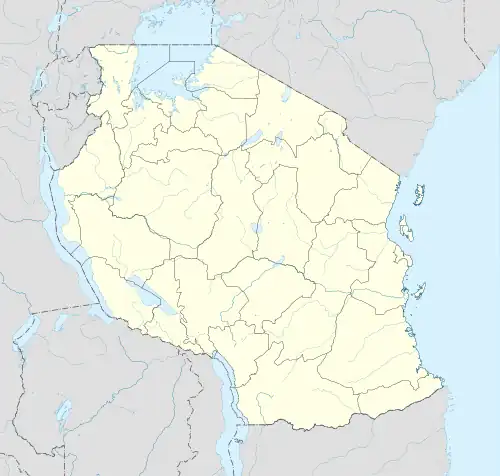
Kahama (Ilemela)
Kahama is an administrative ward in Ilemela District, Mwanza Region, Tanzania. In the year 2016, the Tanzania National Bureau of Statistics reported that there were 8,197 people in the ward.[1] Its post code is 33215.[2]
Kahama
Kata ya Kahama | |
|---|---|
 Kahama | |
| Coordinates: 2°29′37″S 32°59′20″E | |
| Country | |
| Region | Mwanza |
| District | Ilemela |
| Elevation | 1,249 m (4,098 ft) |
| Population (2016) | |
| • Total | 8,197 |
| Time zone | UTC+3 (EAT) |
| Post code | 33215 |
Geography
Kahama is situated on the southern portion of Ilemela District. It is surrounded by mountains in three directions, and has an average elevation of 1,259 metres above sea level.[3]
Villages
There are 9 villages under the ward:[2]
- Buduku
- Butega
- Buyombe
- Isela
- Kadina
- Kahama
- Lukobe
- Magaka
- Wiluhnya
References
- 2016 Makadirio ya Idadi ya Watu katika Majimbo ya Uchaguzi kwa Mwaka 2016, Tanzania Bara (PDF) (in Swahili). National Bureau of Statistics. April 1, 2016. p. 153.
- Mwanza Postcodes (PDF). p. 7. Retrieved 2023-03-22.
- "Kahama topographic map, elevation, terrain". Topographic maps. Retrieved 2023-03-22.
This article is issued from Wikipedia. The text is licensed under Creative Commons - Attribution - Sharealike. Additional terms may apply for the media files.