Kakaramea-Tihia Massif
The Kakaramea-Tihia Massif is an andesitic volcano in the central North Island of New Zealand. It extends from the peak of Kakaramea at 1,300 metres (4,300 ft) [2] in the west to the peak of Tinui at 1,169 metres (3,835 ft).[3] The term Kakaramea means many colours in Māori and relates to rock/soil colour on parts of the massif so is a common place name in New Zealand. The massif is located in the North Island Volcanic Plateau, to the south of Lake Taupō. Lake Rotoaira lies to the south-east as does further away Mount Tongariro and to the east is Pihanga on the other side of the Te Ponanga Saddle from Tihia.
| Kakaramea-Tihia Massif | |
|---|---|
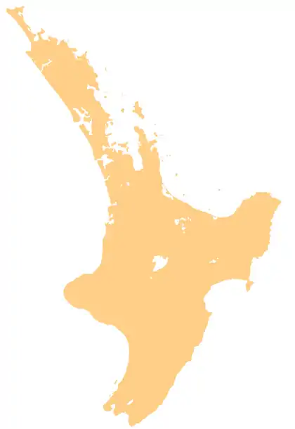 Kakaramea-Tihia Massif Kakaramea-Tihia Massif's location in the North Island | |
| Highest point | |
| Elevation | 1,300 m (4,300 ft) |
| Coordinates | 38°59′20″S 175°42′30″E |
| Geography | |
| Location | Taupō Volcanic Zone, New Zealand |
| Geology | |
| Mountain type | Stratovolcano |
| Last eruption | at least 20,000 years ago[1] |
| Climbing | |
| Easiest route | Mt Tihia Track |
Geology
Eruptions from the Kakaramea-Tihia Massif last occurred more than 20,000 years ago and the most recent appears to be from a vent west-south-west of Tihia.[1] The older formations were from vents aligned north-west to south-east but the more recent eruptions are consistent with the north-north-east to south-south-west alignment of the present southern Taupō Volcanic Zone rifting. It is adjacent to the Waihi Fault Zone which lies almost directly under Kakaramea.
Biology
It is one of the habitats where Dactylanthus taylorii a very rare endangered fully parasitic flowering plant is found. This is pollinated by the endangered New Zealand lesser short-tailed bat.[4]
The Keepers of the Wai
In Māori custom, the area became the responsibility of the Matapuna people (a mix of Tuwharetoa, Tama Kopiri/Upper Whanganui whanau/Tu Hope - Descendants of Te Rere Ao, the First of Tuwharetoa) of the Tuwharetoa people, who have traditionally been the keepers of the wai (Keepers of the Water) and Maunga Kaitiaki (Protectors of the Mountain).[5]
See also
References
- Topping, Wayne William (1974). "Some Aspects of Quaternary History of Tongariro Volcanic Centre".
- PeakVisor: Kakaramea
- PeakVisor: Tihia
- "Dactylanthus".
- Kahui Maunga Vol. 1 Page 125, Page 126 A history of the Tuwharetoa People
External links
- United Nations Environment Programme: Parks and Protected Areas: World Heritage Sites: Tongariro National Park
- Best, Elsdon. The Maori - Volume I, V Myth and Folk Lore. p205.
- Mt Tihia Tramp