Kalga
Kalga (Russian: Калга) is a rural locality (a selo) and the administrative center of Kalgansky District of Zabaykalsky Krai, Russia.
Kalga
Калга | |
|---|---|
Location of Kalga | |
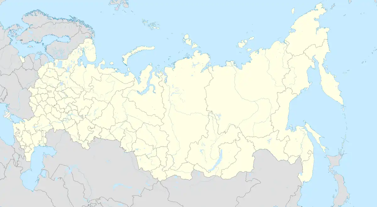
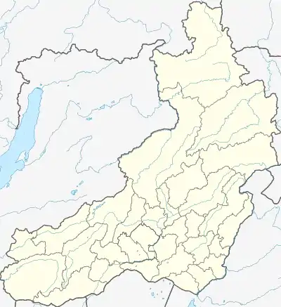
 Kalga Location of Kalga  Kalga Kalga (Zabaykalsky Krai) | |
| Coordinates: 50°55′N 118°54′E | |
| Country | Russia |
| Federal subject | Zabaykalsky Krai[1] |
| Administrative district | Kalgansky District[1] |
| Founded | 1777 |
| Population | |
| • Total | 3,425 |
| • Capital of | Kalgansky District[1] |
| Time zone | UTC+9 (MSK+6 |
| Postal code(s)[3] | 674340 |
| OKTMO ID | 76618433101 |
Geography

It lies of the shore of the River Kalga (RUSSIA). It is located 581 km from Chita. In the village there is a district hospital, a pharmacy, a boarding school, an evening school, a creamery, a state bank, and a bookstore.[4]
History
Kalga was founded in 1777 by exiled members of the Pugachev uprising. Cossacks were settled here beginning in 1851. In September 1908 the 1st Transbaikal battery was deployed in the village. In the 1920s, most of the peasant households united in collective farms, but by the summer of 1930 the farms had disintegrated and kolkhas were formed. In 1942, it became the administrative center of the district. An asphalt plant was formed in 1987.[4]
Demographics
Population: 3,425 (2010 Census);[1] 3,735 (2002 Census);[5] 4,412 (1989 Census).[6]
References
- Russian Federal State Statistics Service (2011). Всероссийская перепись населения 2010 года. Том 1 [2010 All-Russian Population Census, vol. 1]. Всероссийская перепись населения 2010 года [2010 All-Russia Population Census] (in Russian). Federal State Statistics Service.
- "Об исчислении времени". Официальный интернет-портал правовой информации (in Russian). June 3, 2011. Retrieved January 19, 2019.
- Почта России. Информационно-вычислительный центр ОАСУ РПО. (Russian Post). Поиск объектов почтовой связи (Postal Objects Search) (in Russian)
- Kalga in the Enzyklopädie Transbaikaliens (Russian)
- Russian Federal State Statistics Service (May 21, 2004). Численность населения России, субъектов Российской Федерации в составе федеральных округов, районов, городских поселений, сельских населённых пунктов – районных центров и сельских населённых пунктов с населением 3 тысячи и более человек [Population of Russia, Its Federal Districts, Federal Subjects, Districts, Urban Localities, Rural Localities—Administrative Centers, and Rural Localities with Population of Over 3,000] (XLS). Всероссийская перепись населения 2002 года [All-Russia Population Census of 2002] (in Russian).
- Всесоюзная перепись населения 1989 г. Численность наличного населения союзных и автономных республик, автономных областей и округов, краёв, областей, районов, городских поселений и сёл-райцентров [All Union Population Census of 1989: Present Population of Union and Autonomous Republics, Autonomous Oblasts and Okrugs, Krais, Oblasts, Districts, Urban Settlements, and Villages Serving as District Administrative Centers]. Всесоюзная перепись населения 1989 года [All-Union Population Census of 1989] (in Russian). Институт демографии Национального исследовательского университета: Высшая школа экономики [Institute of Demography at the National Research University: Higher School of Economics]. 1989 – via Demoscope Weekly.