Kallur, Khammam district
Kallur is a census town in Khammam district in the Indian state of Telangana.
Kallur
kanakagiri | |
|---|---|
Town | |
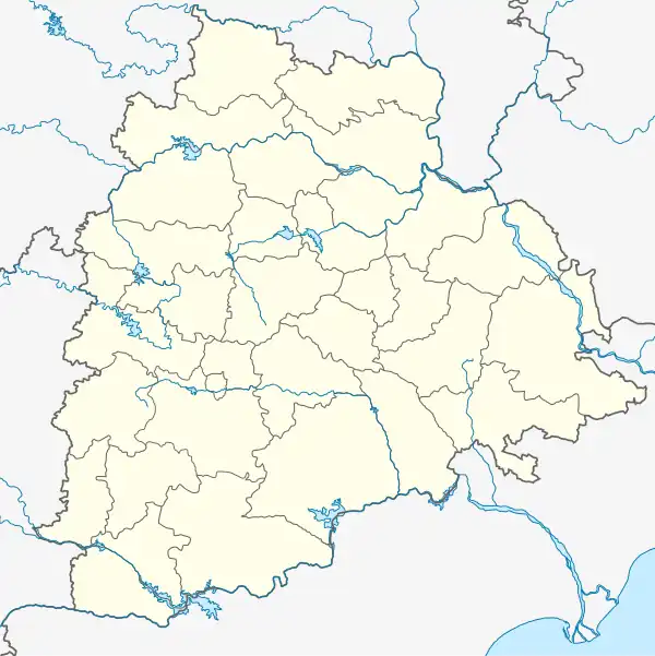 Kallur Location in Telangana, India  Kallur Kallur (India) | |
| Coordinates: 17.2°N 80.55°E | |
| Country | |
| State | Telangana |
| District | Khammam |
| Government | |
| • Type | local body |
| • Body | localbody |
| Area | |
| • Total | 4 km2 (2 sq mi) |
| Elevation | 104 m (341 ft) |
| Population (2001) | |
| • Total | 52,880 |
| • Density | 13,000/km2 (34,000/sq mi) |
| Languages | |
| • Official | Telugu |
| Time zone | UTC+5:30 (IST) |
| Vehicle registration | TS 04 |
| Website | telangana |
Geography
Kallur is located at 17.2°N 80.55°E.[1] It has an average elevation of 104 metres (341 feet). Very near to Andhra Pradesh state capital Amaravathi, and vijayawada.it is near to Rajahmundry and Eluru towns in AP. Kallur is also border for ts and ap states .
Demographics
As of 2001 India census,[2] Kallur had a population of 55,880. Males constitute 51% of the population and females 49%. Kallur has an average literacy rate of 43%, lower than the national average of 59.5%: male literacy is 54%, and female literacy is 32%. In Kallur, 14% of the population is under 6 years of age.
References
- Falling Rain Genomics, Inc - Kallur
- "Census of India 2001: Data from the 2001 Census, including cities, villages and towns (Provisional)". Census Commission of India. Archived from the original on 16 June 2004. Retrieved 1 November 2008.
3. Chowdary mess kallur famous food hotel.
4. Heritage foods limited. dairy and milk processing unit at kallur
5. kakatiya cement sugar industry limited at kallur.