Kamalpur, Assam
Kamalpur is a town in Kamrup district, Assam. It is 32 km from Jalukbari, Guwahati[1] and surrounded by Rangia town, Baihata Chariali and Kaniha, Dimu Dobak villages. It is also a constituency of the Assam Legislative Assembly.
Kamalpur | |
|---|---|
Town | |
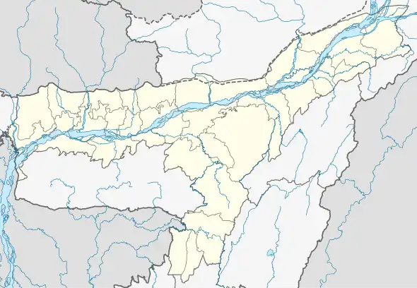 Kamalpur Location in Assam, India  Kamalpur Kamalpur (India) | |
| Coordinates: 26.40°N 91.46°E | |
| Country | |
| State | Assam |
| District | Kamrup |
| Languages | |
| • Official | Assamese |
| Time zone | UTC+5:30 (IST) |
| PIN | 781380 |
| ISO 3166 code | IN-AS |
| Vehicle registration | AS-01 |
| Website | kamrup |
Educational institutes
- Kamalpur Higher Secondary School, Kamalpur
- Kamalpur MV School, Kamalpur
- Kamalpur College, Kamalpur
- Kamalpur High Madrasa School, Kamalpur
- Sankar Ajan Shiksha Niketan, Kamalpur
Government Medicals
- Kamalpur PHC, kamalpur
- Mahatma Gandhi Kamalpur Model Hospital
- Kamalpur State veterinary Dispensary, kamalpur
Government offices
- CIRCLE Office, kamalpur Circle
- Kamalpur Police Station, kamalpur
- Baihata Post Office, Kamalpur
- Block Development Office, Kamalpur
- Baihata Railway Station
- Block Elementary Education Office, Kamalpur
- Office of the Asstt Executive Engineer, PWD
- Office of the Asstt Executive Engineer, PHE
- Kamalpur Telephone Exchange
Transport
Kamalpur is accessible through National Highway 27.
It's 41 km from Lokapriya Gopinath Bordoloi International Airport, Guwahati. Nearest Railway Station is Baihata for local trains and Rangia Railway Junction for mail/Express trains.
See also
This article is issued from Wikipedia. The text is licensed under Creative Commons - Attribution - Sharealike. Additional terms may apply for the media files.