Kantale
Kantale (Sinhala: කන්තලේ, romanized: Kantalē; Tamil: கந்தளாய், romanized: Kantaḷāy) is a town in the Trincomalee District in eastern Sri Lanka. The town is located 38 km (24 mi) south-west of Trincomalee.
Kantale
කන්තලේ கந்தளாய் | |
|---|---|
 | |
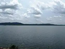
| Kantale Tank | |
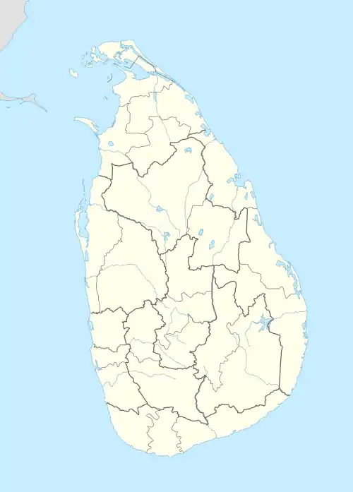
 Kantale Location in Sri Lanka | |
| Coordinates: 8°22′06″N 81°01′41″E | |
| Country | Sri Lanka |
| Province | Eastern Province[1] |
| District | Trincomalee District |
| Time zone | UTC+5:30 (Time in Sri Lanka) |
| Postal code | 31300 [2] |
| Area code | 026[3] |
According to the ancient chronicle, Mahavamsa, Kantale Tank, also named "Gangathala Vapi", is credited as being built by Aggabodhi the II (606–618)[4] and rehabilitated and developed by Parakramabahu the Great (1153–1186).[5] 3,750 hectares. Constructed for the irrigation of crops in this arid region, its source of water is the Mahaweli River, the longest in the island, which flows out to the sea at Trincomalee.[6]
One of the oldest tanks in Sri Lanka, the Kantale Tank gives water to a vast area for paddy[7] and sugar cane plantations[8] as well as for human consumption in Trincomalee and the adjoining areas.
See also
References
- "lk.geoview.info". Retrieved 5 October 2016.
- "Postal code database". Retrieved 5 October 2016.
- "Sri Lankan Dialing Area Code Numbers". Retrieved 5 October 2016.
- Tambiah, Stanley Jeyaraja (2002). Edmund Leach: An Anthropological Life. Cambridge University Press. p. 226. ISBN 9780521521024.
- Schiemer, F. (Ed) (2012). Limnology of Parakrama Samudra — Sri Lanka: A case study of an ancient man-made lake in the tropics. Springer Science & Business Media. ISBN 9789400972810.
- "Mahaweli Ganga". Encyclopædia Britannica. Retrieved 26 October 2016.
- Attygalle, Randima (22 October 2016). "A delectable journey through pickles, hoppers and much more". The Island. Retrieved 26 October 2016.
- Wettasinghe, Chandeepa (12 October 2016). "Local Sugar Industry attracts Foreign Interest". Daily Mirror. Retrieved 26 October 2016.