Katerynivka, Sievierodonetsk Raion, Luhansk Oblast
Katerynivka (Ukrainian: Катеринівка; Russian: Катериновка) is a village in Sievierodonetsk Raion of Luhansk Oblast of eastern Ukraine. The village came under control of the self-proclaimed Luhansk People's Republic in June 2022.
Katerynivka
Катеринівка | |
|---|---|
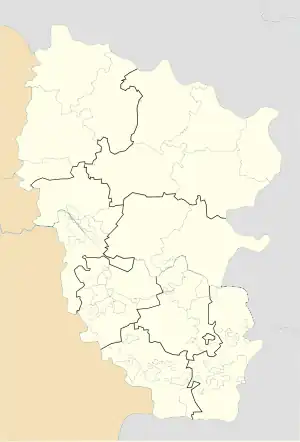
 Katerynivka Location of Katerynivka within Ukraine  Katerynivka Katerynivka (Ukraine) | |
| Coordinates: 48.665°N 38.471667°E | |
| Country | Ukraine |
| Province | Luhansk Oblast |
| District | Sievierodonetsk Raion |
| Founded | 1900 |
| Area | |
| • Total | 1.789 km2 (0.691 sq mi) |
| Elevation | 186 m (610 ft) |
| Population | |
| • Total | 484 |
| • Density | 270/km2 (700/sq mi) |
| Time zone | UTC+2 (EET) |
| • Summer (DST) | UTC+3 (EEST) |
| Postal code | 93344 |
| Area code | +380 6474 |
The War in Donbass, that started in mid-April 2014, has brought along both civilian and military casualties.[1][2][3][4] In this war the village was located in a "gray zone" between Ukrainian forces and forces loyal to the Luhansk People's Republic until on 4 February 2018 the Ukrainian army took the village under its control.[5]
Demographics
In 2001 the settlement had 484 inhabitants. Native language as of the Ukrainian Census of 2001:[6]
- Ukrainian — 74.36%
- Russian — 25.84%
References
- "Біля Катеринівки підірвалася українська БРДМ. Є загиблі військові" (in Ukrainian). Hennadiy Moskal. 4 May 2015. Archived from the original on 7 May 2015. Retrieved 26 July 2017.
- "Two Ukrainian Soldiers Killed By Land Mine In Luhansk". REF/RL. 4 May 2015.
- "Генштаб: В бою под Катериновкой погибли трое и ранены шесть военных" (in Russian). UNIAN. 19 May 2015. Retrieved 26 July 2017.
- "Под Катериновкой на фугасе подорвалась БРДМ с военными: погибли двое бойцов, еще трое получили ранения, - МВД" (in Russian). Information Resistance. 20 May 2015. Archived from the original on 28 May 2015. Retrieved 20 May 2015.
- "Порошенко відвідав звільнене село на Луганщині".
- "Розподіл населення за рідною мовою на ukrcensus.gov.ua". Archived from the original on 31 July 2014. Retrieved 26 July 2017.
This article is issued from Wikipedia. The text is licensed under Creative Commons - Attribution - Sharealike. Additional terms may apply for the media files.