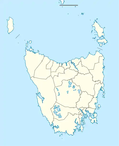
Kelso, Tasmania
Kelso is a rural locality in the local government area (LGA) of West Tamar in the Launceston LGA region of Tasmania. The locality is about 14 kilometres (8.7 mi) north of the town of Beaconsfield. The 2016 census has a population of 146 for the state suburb of Kelso.[1] It is located west of George Town. It was settled in the early 19th century and is located on Kelso Bay, a small bay on the Tamar River. Kelso is known as a fishing resort for flathead, whiting and mullet.[3] Kelso is also located near the Narawntapu National Park.
| Kelso Tasmania | |||||||||||||||
|---|---|---|---|---|---|---|---|---|---|---|---|---|---|---|---|
 Kelso | |||||||||||||||
| Coordinates | 41°6′20″S 146°47′0″E | ||||||||||||||
| Population | 146 (2016 census)[1] | ||||||||||||||
| Postcode(s) | 7270 | ||||||||||||||
| Elevation | 8.7 m (29 ft)[2] | ||||||||||||||
| Location |
| ||||||||||||||
| LGA(s) | West Tamar | ||||||||||||||
| Region | Launceston | ||||||||||||||
| State electorate(s) | Bass | ||||||||||||||
| Federal division(s) | Bass | ||||||||||||||
| |||||||||||||||
History
The area was originally known as Kelsalls Bay or Kelsalls Point after William Kelsall, the first European inhabitant of the district, who arrived in 1804. It is believed that the name is a derivative of “Kelsall”. Kelso is also a town in Scotland, and that could be the source of the name. Friend Point, on the north-east corner of the locality, is believed to be named for Lieutenant Matthew Friend, a former Royal Navy officer who held various positions in northern Tasmania from 1832. Kelso was gazetted as a locality in 1967.[4]
A receiving office opened in 1900 and converted to a post office about 1922. It closed in 1973.[5]
Geography
The waters of Bass Strait and the Tamar River estuary form the northern, north-eastern, and eastern boundaries. Kelso Bay is a small, shallow inlet on the east coast of the locality.[6]
References
- "2016 Census Quick Stats Kelso (Tas.)". quickstats.censusdata.abs.gov.au. Australian Bureau of Statistics. 23 October 2017. Retrieved 13 September 2020.
- "Frequently asked questions about Kelso, TAS". Bonzle.com. Retrieved 30 October 2013.
- "Winter fishing in the Tamar River". TASFish. Retrieved 26 February 2010.
- "Placenames Tasmania – Kelso". Placenames Tasmania. Select “Search”, enter "1061P", click “Search”, select row, map is displayed, click “Details”. Retrieved 13 September 2020.
- "Post Office List". Phoenix Auctions. Retrieved 7 March 2021.
- Google (13 September 2020). "Kelso, Tasmania" (Map). Google Maps. Google. Retrieved 13 September 2020.
- "Tasmanian Road Route Codes" (PDF). Department of Primary Industries, Parks, Water & Environment. May 2017. Archived from the original (PDF) on 1 August 2017. Retrieved 13 September 2020.