Khawbung
Khawbung (/koʊbuːŋ/) is a village in the Champhai district in the Indian state of Mizoram. It is the administrative centre of Khawbung rural development block[1] and Khawbung assembly constituency which has been renamed as the 25 East Tuipui Constituency.[2]
Khawbung is an administrative block headquarters headed by a Block Development Officer (BDO). There are 25 villages[3] with a total population of 22,139 (11295 males and 10844 females)[4] under the Khawbung RD Block. The area is physically bound by the lakes of R.Tuipui and R.Tiau. The geographic location of Khawbung is relatively higher than the rest of the state.
Geography
Khawbung | |
|---|---|
Sub-Town | |
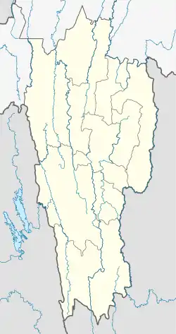 Khawbung Location in Mizoram, India  Khawbung Khawbung (India) | |
| Coordinates: 23°10′N 93°14′E | |
| Country | |
| State | Mizoram |
| District | Champhai |
| Population (2011) | |
| • Total | 2,097[5] |
| Languages | |
| • Official | Mizo |
| Time zone | UTC+5:30 (IST) |
| PIN | 796321 |
| Vehicle registration | MZ |
| Coastline | 0 kilometres (0 mi) |
| Nearest city | Champhai |
| Sex ratio | 978 females per 1000 males[5] ♂/♀ |
| Literacy | 98.12% |
| Website | mizoram |
References
- The Official Website of Khawbung RD Block
- Elections in India
- Indian Village Directory
- Census of India 2011
- "Profile of Khawbung village". Profile of villages within Khawbung RD block. Khawbung Rural Development Block. 2011. Retrieved 19 June 2012.
This article is issued from Wikipedia. The text is licensed under Creative Commons - Attribution - Sharealike. Additional terms may apply for the media files.