Khroma Bay
The Khroma Bay (Russian: Хромская губа, Khromskaya Guba) is a bay in the East Siberian Sea, part of the Sakha Republic (Yakutia) administrative division of the Russian Federation.
| Khroma Bay | |
|---|---|
| Хромская губа | |
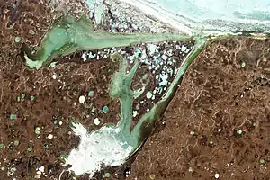 Satellite image of the Omulyakh (above) and Khroma bays | |
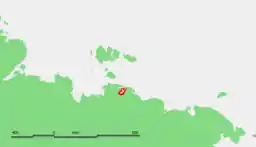
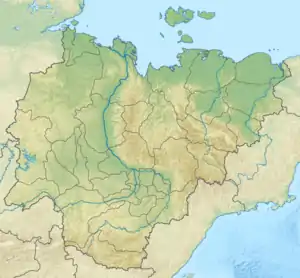 Khroma Bay Map showing the location of the bay | |
 | |
| Location | Far North |
| Coordinates | 71.8833°N 145.8833°E |
| Ocean/sea sources | East Siberian Sea |
| Basin countries | Russia |
| Max. length | 130 km (81 mi) |
| Max. width | 30 km (19 mi) |
Owing to is northerly location the bay is covered with ice most of the year.
Geography
The bay lies west of the Sundrun River region and east of the Yana Bay. It is open to the northeast through a narrow and straight channel and is 130 km (81 mi) in length. Its maximum width is about 30 km (19 mi) and it has a branch or inlet extending northwards midway between its mouth and its most inland shore point. The Omullyakh Bay lies north of the bay and shares the same mouth.[1]
This bay is in the shores of the East Siberian Lowland, an area of wetlands; lakes and marshes dot the whole landscape. The 685 km (426 mi) long Khroma and the 204 km (127 mi) long Lapcha[2] flow into the head of the bay from the south.[3]
Fauna
Mammoths were common in this region during the holocene period.[4] In the summer the bay is a breeding and molting area for the lesser white-fronted goose.[5]
References
- GoogleEarth
- "Река Лапча in the State Water Register of Russia". textual.ru (in Russian).
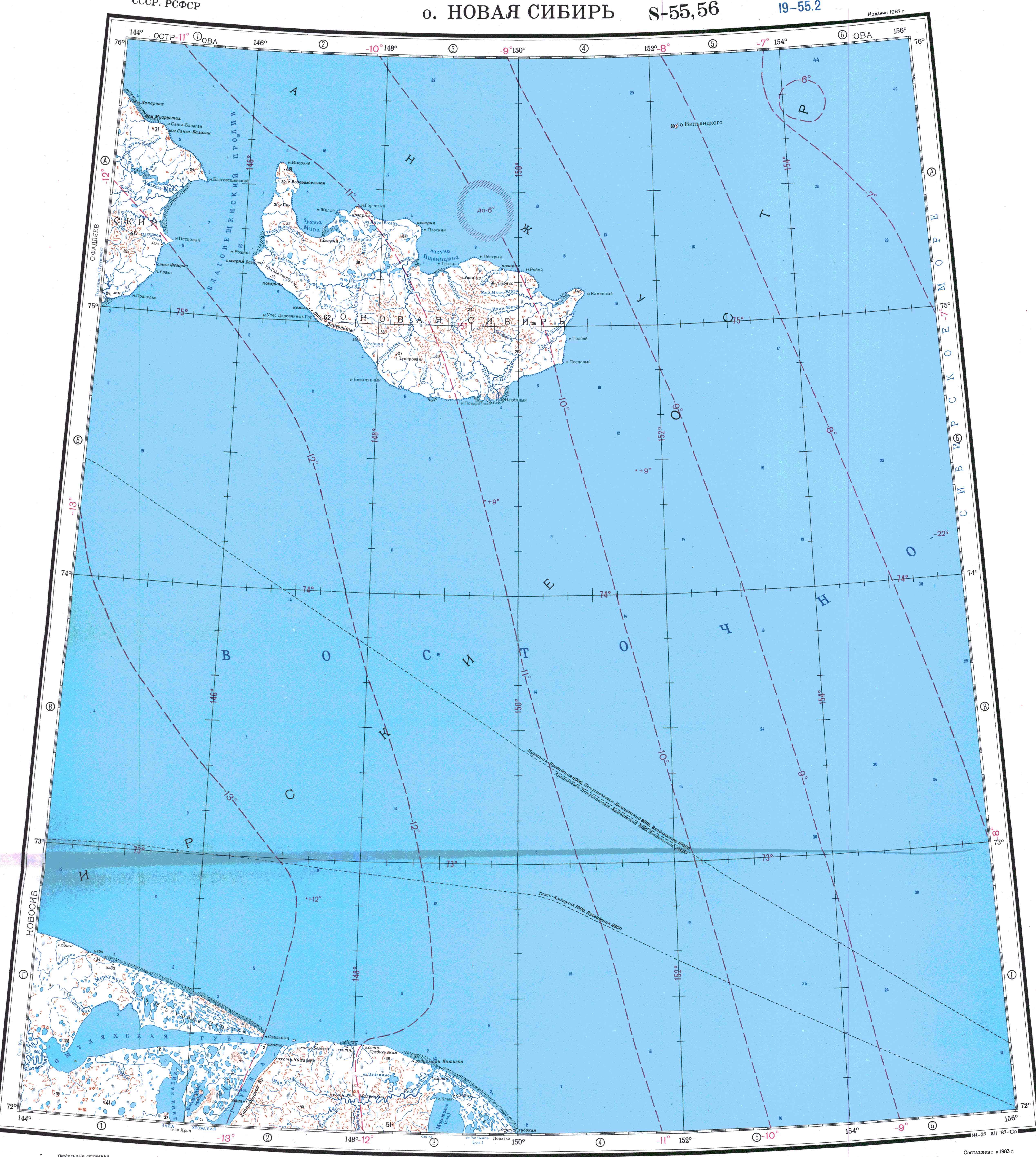
- "S-55_56 Topographic Chart (in Russian)". Retrieved 27 May 2022.
- The North of Eastern Siberia: Refuge of Mammoth Fauna
- "Lesser White-fronted Goose conservation project" (PDF). Archived from the original (PDF) on 2005-11-03. Retrieved 2008-08-07.
External links
- Location
- Wetlands Archived 2016-03-03 at the Wayback Machine