Killisick
Killisick is an area of the market town of Arnold in the ceremonial county of Nottinghamshire in the East Midlands of England. It also used to be a local government ward area of Gedling borough until 2015.[2] The population of the ward as it stood at the 2011 census was 2,595.[3] The area is currently contained within the newly created Coppice ward.
| Killisick | |
|---|---|
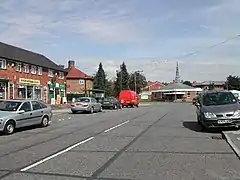
 Beechwood Road in 2005 | |
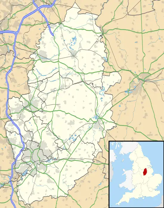
 Killisick Location within Nottinghamshire | |
| Population | 2,595 (2011) |
| OS grid reference | SK 59310 45809 |
| Civil parish | |
| District | |
| Shire county | |
| Region | |
| Country | England |
| Sovereign state | United Kingdom |
| Post town | Nottingham |
| Postcode district | NG5 |
| Dialling code | 0115 |
| Police | Nottinghamshire |
| Fire | Nottinghamshire |
| Ambulance | East Midlands |
| UK Parliament | |
The area is mostly residential, and contains a few shops and a John Lewis & Partners depot. It borders with Mapperley, Arnold town centre and Woodthorpe. As a ward, Killisick shared borders with the wards known as: Mapperley Plains; Lambley; Woodborough; St. Mary's; Calverton; and Kingswell.
Education
The area contains three primary schools: Killisick Junior School; Pinewood Infant School and Foundation Unit; and Robert Mellors Primary School.
There are no secondary schools in Killisick, but Arnold Hill Academy, Christ the King Catholic Voluntary Academy and Redhill Academy are nearby.
Recreation
Killisick Recreation Ground lies outside Killisick, alongside the area's eastern boundary. The ground contains a playground, an outdoor gym, two grass football pitches and a smaller, fenced tarmac pitch. A funfair is held on the ground every year.[4]
Killisick Community Centre is on Killisick Road.[5]
Bus services
Bus services in Killisick include Nottingham City Transport's Lime Line 56, 56B, 57, 58, N58 and 59.

The 56 covers Ramsey Drive, Coppice Road and Gedling Road.
The 56B covers Ramsey Drive, Coppice Road and Gedling Road.
57 covers: Ramsey Drive, Gedling Road, and Darlton Drive.
The 58 covers Killisick Road, Homefield, and Surgeys Lane.
The N58 covers Ramsey Drive, Coppice Road and Gedling Road.
The 59 covers Howbeck Road, Rolleston Drive, and Sandfield Road.
References
- Langston, Brett (2013). "Nottinghamshire Registration District". UK BMD website. UK BMD. Retrieved 27 April 2014.
- "Killisick Ward" (PDF). gedling.gov.uk. Gedling Borough Council. Archived from the original (PDF) on 23 April 2016. Retrieved 2 April 2014.
- "Gedling Ward population 2011". Neighbourhood Statistics. Office for National Statistics. Retrieved 11 April 2016.
- Gedling Funfairs Archived 9 September 2009 at the Wayback Machine
- "Killisick Community Centre". gedling.gov.uk. Arnold: Gedling Borough Council. Archived from the original on 3 September 2020. Retrieved 3 September 2020.
Address: Killisick Road
- "Lime Line Nottingham > Arnold (Notts)". Nottingham City Transport. Archived from the original on 5 January 2014. Retrieved 8 April 2014.
- "Lime Line – NCN Clarendon, Mansfield Road, Sherwood, Arnold". Nottingham City Transport. Retrieved 8 April 2014.
- "Lime Line". Nottingham City Transport. Retrieved 8 April 2014.
- "Lime Line Nottingham > Killisick". Nottingham City Transport. Archived from the original on 5 January 2014. Retrieved 8 April 2014.
- "Lime Line Nottingham > Daybrook". Nottingham City Transport. Retrieved 8 April 2014.
- "Lime Line Nottingham > Killisick". Nottingham City Transport. Archived from the original on 5 January 2014. Retrieved 8 April 2014.