Kvam, Innlandet
Kvam is a village in Nord-Fron Municipality in Innlandet county, Norway. The village is located in the Gudbrandsdalen valley, along the river Gudbrandsdalslågen, about 10 kilometres (6.2 mi) northwest of the town of Vinstra. The European route E6 highway and the Dovrebanen railway line both run through the village. The railroad stops at the Kvam Station. The 1.15-square-kilometre (280-acre) village has a population (2021) of 774 and a population density of 676 inhabitants per square kilometre (1,750/sq mi).[1]
Kvam | |
|---|---|
Village | |
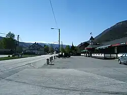 View of the village | |
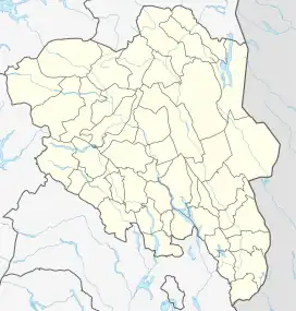 Kvam Location of the village 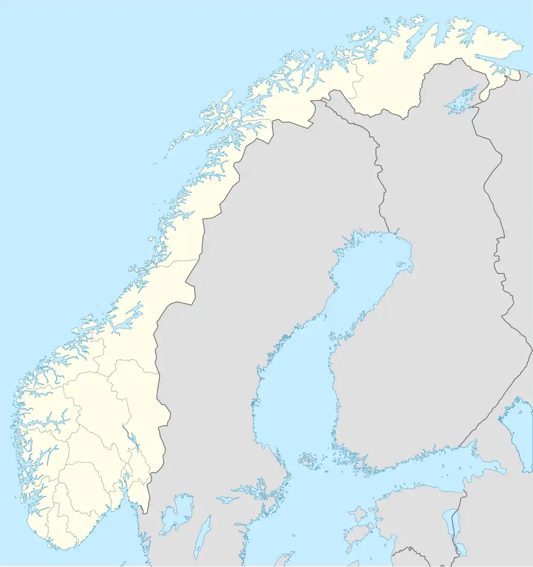 Kvam Kvam (Norway) | |
| Coordinates: 61.665°N 9.68773°E | |
| Country | Norway |
| Region | Eastern Norway |
| County | Innlandet |
| District | Gudbrandsdalen |
| Municipality | Nord-Fron Municipality |
| Area | |
| • Total | 1.15 km2 (0.44 sq mi) |
| Elevation | 262 m (860 ft) |
| Population (2021)[1] | |
| • Total | 774 |
| • Density | 676/km2 (1,750/sq mi) |
| Time zone | UTC+01:00 (CET) |
| • Summer (DST) | UTC+02:00 (CEST) |
| Post Code | 2642 Kvam |
History
.jpg.webp)
During the military campaign in Norway in 1940, Kvam was the scene of a battle between German and British forces. During the battle, the original Kvam Church that was built in 1776 was destroyed by the Germans. In 1952, after the war, the current Kvam Church was constructed on the same site.[3] Kvam has a British military cemetery.
The village experienced devastating floods in 2011 and 2013.[4]
References
- Statistisk sentralbyrå (1 January 2021). "Urban settlements. Population and area, by municipality".
- "Kvam, Nord-Fron". yr.no. Retrieved 11 June 2022.
- Ole Arnfinn Torgersrud (1952). "Den gamle og den nye kyrkja i Kvam". In Høgåsen, Martinus (ed.). Årbok for Gudbrandsdalen 1952. Otta: Dølaringen.
- Statistics Norway (2006). "Urban settlements. Population and area, by municipality. 1 January 2006". Archived from the original on 21 August 2006.