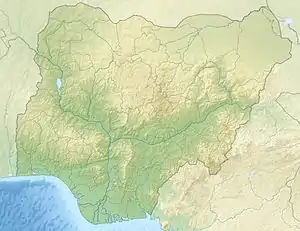
Kwa Ibo River
The Kwa Ibo River (also Quaibo River) is a river that rises near Umuahia in Abia State, Nigeria,[1] and flows in a southeastern direction through Akwa Ibom State to the Atlantic Ocean.[2] [3]
| Kwa Ilbo River | |
|---|---|
 Location of mouth | |
| Location | |
| Country | Nigeria |
| State | Abia State |
| Physical characteristics | |
| Mouth | |
• coordinates | 4°32′27″N 7°59′19″E |
| Basin features | |
| Progression | Atlantic Ocean |
[4]stern side of the Kwa Ibo River about 3 kilometres (2 mi) from the river mouth, is one of the largest fishing settlements on the Nigerian coast.[5][6] The Kwa Ibo River discharges 92,900 tonnes of plastic under the lower mass input category and 20,800 tonnes at the upper mass input category.
Pollution
The Kwa Ibo river according to River Plastic Emissions is among the top 20 polluting rivers accounting for 67 per cent of global plastic inflow into the ocean.[7]
References
- "Kwa Ibo River, Nigeria". ng.geoview.info. Retrieved 2023-07-09.
- "KWA IBO NIGERIAN RIVERS INDEX A TO Z OCEAN PLASTIC TOP POLLUTERS". www.oceansplasticleanup.com. Retrieved 2023-07-09.
- "Nigerian rivers among top 20 polluting rivers - Daily Trust". dailytrust.com. Retrieved 2023-09-25.
- "KWA IBO RIVER". Marine World Database. Archived from the original on 2011-09-13. Retrieved 2011-09-09.
- "DESCRIPTION OF FISHERIES", Marine fishery resources of Nigeria: A review of exploited fish stocks..., Fisheries and Aquaculture Department, retrieved 2011-09-09
- "Fishing reports, best baits and forecast for fishing in River Kwa Ibo". Fishbrain. Retrieved 2023-07-09.
- "Nigerian rivers among top 20 polluting rivers - Daily Trust". dailytrust.com. Retrieved 2023-09-28.
This article is issued from Wikipedia. The text is licensed under Creative Commons - Attribution - Sharealike. Additional terms may apply for the media files.