La Quebradona
La Quebradona (Spanish pronunciation: [la keβɾaˈðona]) is a river located in Ocotepeque Department, Honduras.[1]
The Rio La Quebradona rises in the department of Ocotepeque, near the village of Las Minito.[2] It flows northwest from the Cordillera del Merendón, north from Mount El Naripio, and the eastern flanks of Cerro La Minas.[2] It flows into the El Playón river,[2] a tributary of the Jupilingo.[3]
Notes and references
- United States Board on Geographic Names, US Department of Interior (1983). Gazetteer of Honduras: Names Approved by the United States Board on Geographic Names (second ed.). Washington, D.C.: Defense Mapping Agency (US). p. 254. OCLC 9907822.
- Instituto Geográfico Nacional (1992). San Fernando (Sheet 2360 II) (PDF) (Map) (second ed.). 1:50,000. E752. Defense Mapping Agency (US).
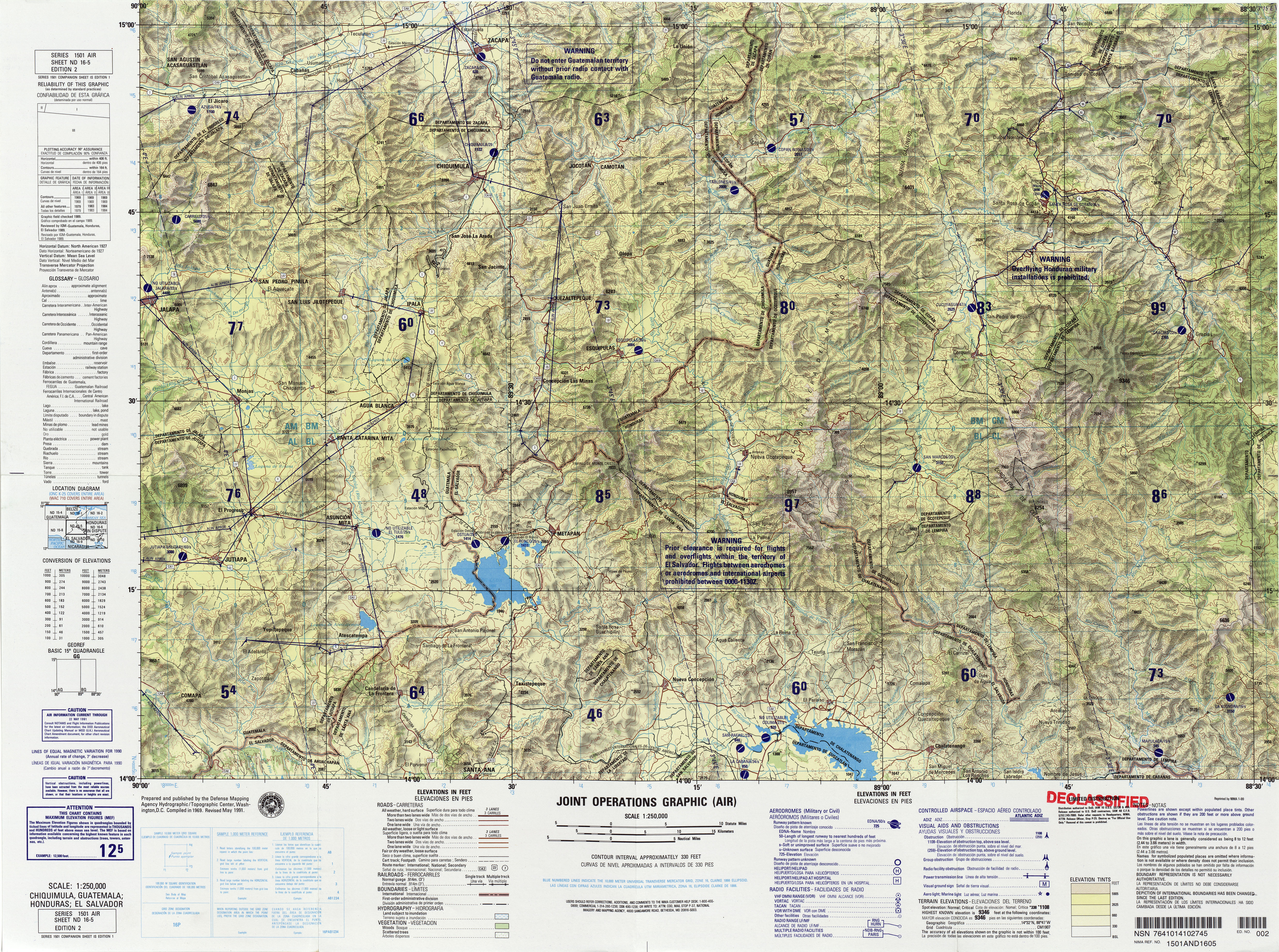
- Defense Mapping Agency Hydrographic/Topographic Center (1991). Chiquimula, Guatemala; Honduras; El Salvador (Sheet ND 16-5) (Map) (second ed.). 1:250,000. 1501 Air.
This article is issued from Wikipedia. The text is licensed under Creative Commons - Attribution - Sharealike. Additional terms may apply for the media files.