Lac la Plonge
Lac la Plonge is a glacial lake in Saskatchewan in the basin of the Beaver River near Lac Île-à-la-Crosse. It is located in the Boreal Forest near the Canadian Shield. Lac La Plonge on its north shore is accessed via Highway 165.
| Lac la Plonge | |
|---|---|
 | |
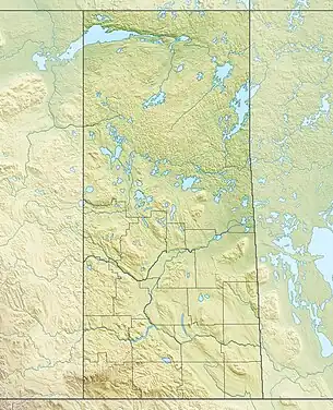 Lac la Plonge Location in Saskatchewan 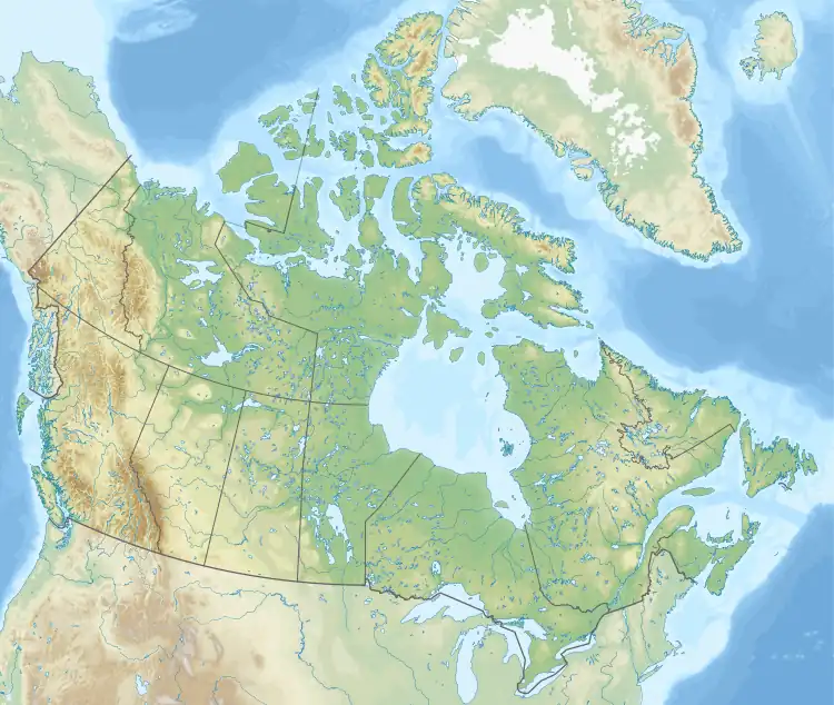 Lac la Plonge Lac la Plonge (Canada) | |
| Location | Saskatchewan |
| Coordinates | 55°08′N 107°20′W |
| Primary outflows | La Plonge River |
| Basin countries | Canada |
| Settlements | Lac La Plonge |
The La Plonge River flows west from the north west section of the lake into the Beaver River at Beauval.[1][2] The lake is also the site of the Lac La Plonge Dam, which is operated by the Saskatchewan Water Security Agency.[3]
Fish species
The lake's fish species include walleye, sauger, yellow perch, northern pike, lake trout, lake whitefish, cisco, white sucker, longnose sucker and burbot.
See also
References
- "Natural Resources Canada-Canadian Geographical Names (Lac la Plonge)". Retrieved 29 October 2014.
- "Atlas of Canada Toporama". Retrieved 29 October 2014.
- "The Virtual Museum of Métis History and Culture".
External links
- Statistics Canada
- Anglersatlas.com
- https://web.archive.org/web/20151103002043/http://www.publications.gov.sk.ca/details.cfm?p=11115
This article is issued from Wikipedia. The text is licensed under Creative Commons - Attribution - Sharealike. Additional terms may apply for the media files.