Lake Ōnoke
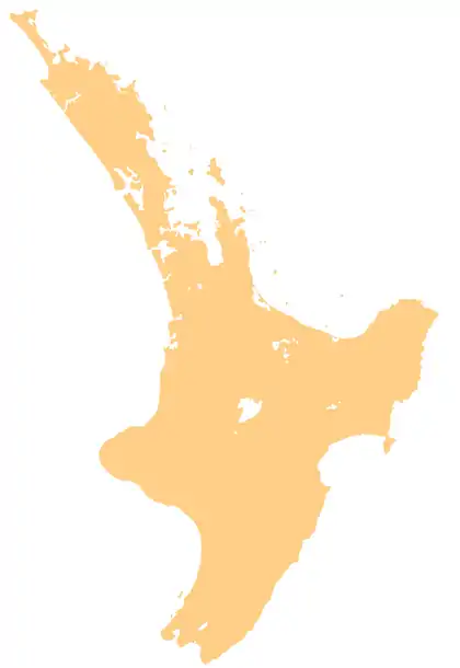
Lake Ōnoke is a lake located in South Wairarapa District, in the Wellington Region.
| Lake Ōnoke | |
|---|---|
 Lake Ōnoke | |
| Location | South Wairarapa District, Wellington Region |
| Coordinates | 41°22′50″S 175°7′53″E |
| Basin countries | New Zealand |
| Max. length | 3.2 km (2.0 mi) |
| Max. width | 2.7 km (1.7 mi) |
| Surface area | 6.3 km2 (2.4 sq mi) |
| Average depth | 1.5 m (4.9 ft) |
| Surface elevation | 0 m (0 ft) |
Geography
Lake Ōnoke is located around 30 km (19 mi) east-southeast of Wellington city center and 9 km (5.6 mi) south-southwest of Alsops Bay of Lake Wairarapa. The lake is around 1.5 m (4.9 ft) deep and has a size of around 6.3 km2 (2.4 sq mi) and extends on the coast parallel to Palliser Bay over a length of around 3.2 km (2.0 mi). Lake Ōnoke protrudes around 2.7 km (1.7 mi) inland.
The lake is mainly fed by the Ruamahanga River, but the Turanganui River and some streams also play their part. Lake Ōnoke, which has an average pH of 7.6,[1] is drained at its southeastern end to Palliser Bay, which is only 200 to 300 m wide and 3.5 km (2.2 mi) long headland from split separates the two waters.[2][3]
The lake becomes noticeably shallower over the years. It was shown by studies from 1994 and 2010, in which it was found that the silting up with sediments amounts to an average of 12.5 mm per year.[4]
References
- Robertson, Stevens (2007). Lake Onoke 2007. p. 9 f.
- "Lake Onoke, Wellington". NZ Topo Map. Gavin Harriss. Retrieved 1 June 2021.
- Koordinaten und Längenbestimmungen wurden mittels Google Earth Pro Version 7.3.3.7786 am 1. Juni 2021 vorgenommen
- "Lake Onoke" (PDF). Greater Wellington Regional Council. Retrieved 1 June 2021.