Landywood
Landywood is a village in the South Staffordshire district of Staffordshire, England. Landywood is part of the South Staffordshire ward named "Great Wyrley Landywood",[1] It lies 3 miles north of Bloxwich, 3 miles south from Cannock and 6 miles north of Walsall.
| Landywood | |
|---|---|
 Gilpins Basin, Landywood | |
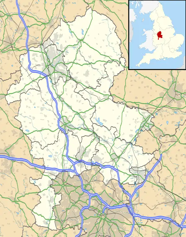 Landywood Location within Staffordshire | |
| District | |
| Shire county | |
| Region | |
| Country | England |
| Sovereign state | United Kingdom |
| Post town | Walsall |
| Postcode district | WS6 |
| Police | Staffordshire |
| Fire | Staffordshire |
| Ambulance | West Midlands |
| UK Parliament | |
It forms part of Great Wyrley and is contiguous with Cheslyn Hay, Newtown and Little Wyrley. It is close to the border with the Metropolitan Borough of Walsall.[2]
The village is separated from Cannock to the north by the M6 Toll motorway, and the A5 road. It is served by Landywood railway station on the Chase Line, which runs from Birmingham via Walsall to Rugeley Trent Valley. National Express West Midlands bus service X51 provides a connection to Cannock via the McArthurGlen Designer outlet as well as Walsall, Bloxwich, Great Barr and Birmingham. D&G Chaserider service 71 links Landywood with Cannock, Essington, Wednesfield, New Cross Hospital and Wolverhampton.
In 2022, plans were approved for a new housing development on the Landywood Lane green belt, despite objections and petitions against it from local residents. This estate will border Cheslyn Hay.[3][4]
References
- Staffordshire County Council website showing South Staffordshire ward boundaries Archived 2012-02-23 at the Wayback Machine
- Staffordshire County Council - 2001 Census (PDF)
- Ashdown, Kerry (20 February 2022). "Dozens of new homes approved for land between two South Staffs villages". www.expressandstar.com. Retrieved 1 June 2023.
- "Wood Heath, Cheslyn Hay - Houses For Sale Cheslyn Hay". Cameron Homes. Retrieved 1 June 2023.