Ledo, Assam
Ledo is a small town in Tinsukia district, Assam, India.[1] As of 2005, the Ledo railway station is the easternmost broad gauge railway station in India.[2] The town is also the starting point of Ledo Road, also known as Stilwell Road, a highway built during World War II for use by American and British troops as a military supply route to China through Myanmar (Burma)
Ledo | |
|---|---|
village | |
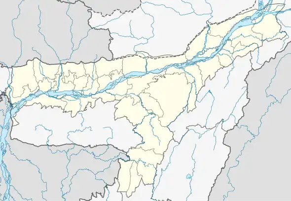 Ledo Location in Assam, India  Ledo Ledo (India) | |
| Coordinates: 27°18′0″N 95°44′0″E | |
| Country | |
| State | Assam |
| District | Tinsukia |
| Government | |
| • Type | Panchayati raj (India) |
| • Body | Gram panchayat |
| Elevation | 150 m (490 ft) |
| Languages | |
| • Official | Assamese |
| Time zone | UTC+5:30 (IST) |
| PIN | [786182] |
| ISO 3166 code | IN-AS |
| Vehicle registration | AS |
| Coastline | 0 kilometres (0 mi) |
| Nearest city | Margherita |
| Avg. summer temperature | 30 °C (86 °F) |
| Avg. winter temperature | 6 °C (43 °F) |
The first coal mine in Assam was started near Ledo in 1882 when the erstwhile Assam Railway & Trading Company was laying a metre gauge railway line in that region.[3][4]
Nearest Town and Villages
References
- "Ledo". www.india9.com. 15 October 2005. Retrieved 8 October 2019.
- "[IRFCA] Indian Railways FAQ: Trivia". www.irfca.org. Retrieved 8 October 2019.
- "Makum Coalfields – an Insight – Assam". Kaziranga National Park and Tiger Reserve. 6 September 2018. Archived from the original on 8 October 2019. Retrieved 8 October 2019.
- Sen, Sanjay (2016). Coal mining industry in Assam - a study of Tinsukia district - 1865-1940 (PDF).
Wikivoyage has a travel guide for Ledo.
This article is issued from Wikipedia. The text is licensed under Creative Commons - Attribution - Sharealike. Additional terms may apply for the media files.