Leesville Airport
Leesville Airport is a city-owned, public-use general aviation airport located 4 nautical miles (7.4 km) west of Leesville, a city in Vernon Parish, Louisiana, United States.[1][2][3]
Leesville Airport | |||||||||||
|---|---|---|---|---|---|---|---|---|---|---|---|
| Summary | |||||||||||
| Airport type | Public | ||||||||||
| Owner/Operator | City of Leesville | ||||||||||
| Serves | Leesville | ||||||||||
| Location | Leesville, Louisiana, U.S. | ||||||||||
| Time zone | Central Time Zone (UTC-6) | ||||||||||
| Elevation AMSL | 281 ft / 85.6 m | ||||||||||
| Coordinates | 31°10′05″N 093°20′32″W | ||||||||||
| Website | Leesville Airport | ||||||||||
| Map | |||||||||||
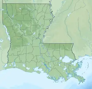
 L39 Location of L39 in Louisiana  L39 L39 (the United States) | |||||||||||
| Runways | |||||||||||
| |||||||||||
| Statistics (2016) | |||||||||||
| |||||||||||
Due to the small size of Leesville Airport, it has been assigned the three-letter FAA location identifier of L39, but has no corresponding IATA or ICAO designations.[4]
Leesville Airport is listed as a "Local/Basic" airport in the 2017-2021 National Plan of Integrated Airport Systems Report.[5] Between 2017 and 2021, it was expected to receive $4,914,250 in developmental funding.[6]
Facilities and aircraft
Leesville Airport covers an area of 120 acres (49 ha) at an elevation of 281 feet (85.6 m) above mean sea level. It has one runway: 18/36 is 3,807 by 75 feet (1,460 x 23 m) with an asphalt surface.[1]
For the 12-month period ending September 22, 2016, the airport had 15,000 aircraft operations, an average of 41 per day: 67% local general aviation (10,000), 20% itinerant general aviation (3,000), and 13% military (2,000). At that time there were 15 aircraft based at this airport: 93% single-engine (14), and 7% helicopter (1).[1]
References
- FAA Airport Form 5010 for L39 PDF, effective 2017-05-25.
- Louisiana Dept of Transportation Airport Directory
- Leesville Airport website
- Great Circle Mapper: L39 - Leesville, Louisiana
- "2017-2021 NPIAS Report, Appendix B: Part 3" (PDF). p. 2. Retrieved 2017-06-16.
- "5-Year Forecast Activity and Development Cost" (PDF). p. 40. Retrieved 2017-06-16.
External links
- Airport website
- FAA Terminal Procedures for L39, effective October 5, 2023
- Resources for this airport:
- FAA airport information for L39
- AirNav airport information for KL39
- FlightAware airport information and live flight tracker
- NOAA/NWS weather observations: current, past three days
- SkyVector aeronautical chart, Terminal Procedures