Limbgaon, Nanded
Limbgaon is a village and railway station in Nanded taluka of Nanded district of Indian state of Maharashtra. It is located 14 km away from Nanded.[2]
Limbgaon | |
|---|---|
Village/Railway station | |
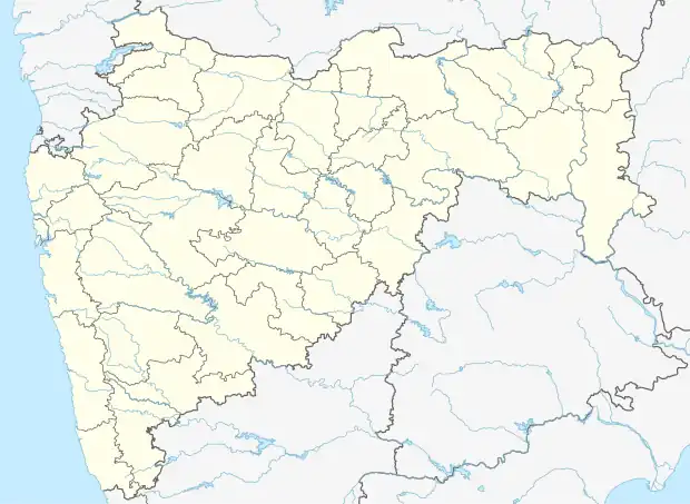 Limbgaon Location in Maharashtra[1]  Limbgaon Limbgaon (India) | |
| Coordinates: 19.1758533°N 77.2058014°E | |
| Country | |
| State | Maharashtra |
| District | Nanded |
| Government | |
| • Type | Gram panchayat |
| Population (2011) | |
| • Total | 4,560 |
| Demonym | Limbgaonkar |
| Languages | |
| • Official | Marathi |
| Time zone | UTC+5:30 (IST) |
| PIN | 431602 |
| Telephone code | 02462 |
| Vehicle registration | MH-26 |
Demography
- As per 2011 census, Limbgaon has total 951 families residing. Village has population of 4,560 of which 2,375 were males while 2,185 were females.
- Average Sex Ratio of village is 920 which is lower than Maharashtra state average of 929.
- Literacy rate of village was 76.5% compared to 82.95% of Maharashtra. Male literacy rate was 87.3% while female literacy rate was 65%.
- Schedule Caste (SC) constitutes 24% of total population while Schedule Tribe was 0.2%.
Limbgaon Railway Station
| Parameter | Detail[3] | |
|---|---|---|
| Station code | LBG | |
| Zone | SCR (South Central) | |
| Division | Hazur Sahib Nanded | |
| District | Nanded | |
| Platforms | 2 | |
| Halting Trains | 16 | |
| Elevation | 390 m | |
| Track | Diesel |
Geography and Transport
Following table shows distance of Limbgaon from some of major cities.
| City | Distance (km) |
|---|---|
| Nanded | 14 |
| Purna | 18 |
| Loha | 29 |
| Parbhani | 49 |
| Aurangabad | 227 |
| Mumbai | 533 |
| Hydrabad | 296 |
References
- "Limbgaon Pin Code, Limbgaon , Nanded Map , Latitude and Longitude , Maharashtra". Indiamapia.com. Retrieved 12 September 2015.
- "LBG/Limbgaon to NED/Hazur Sahib Nanded: 8 Trains". India Rail Info. Retrieved 12 September 2015.
- "LBG/Limbgaon (2 PFs) Map/Atlas". India Rail Info. 16 February 2011. Retrieved 12 September 2015.
This article is issued from Wikipedia. The text is licensed under Creative Commons - Attribution - Sharealike. Additional terms may apply for the media files.