List of crossings of the Marikina River
This is a list of bridges and other crossings of the Marikina River in Rizal and Metro Manila, Philippines.
6
7
8
9
10
11
12
13
14
15
16
17
18
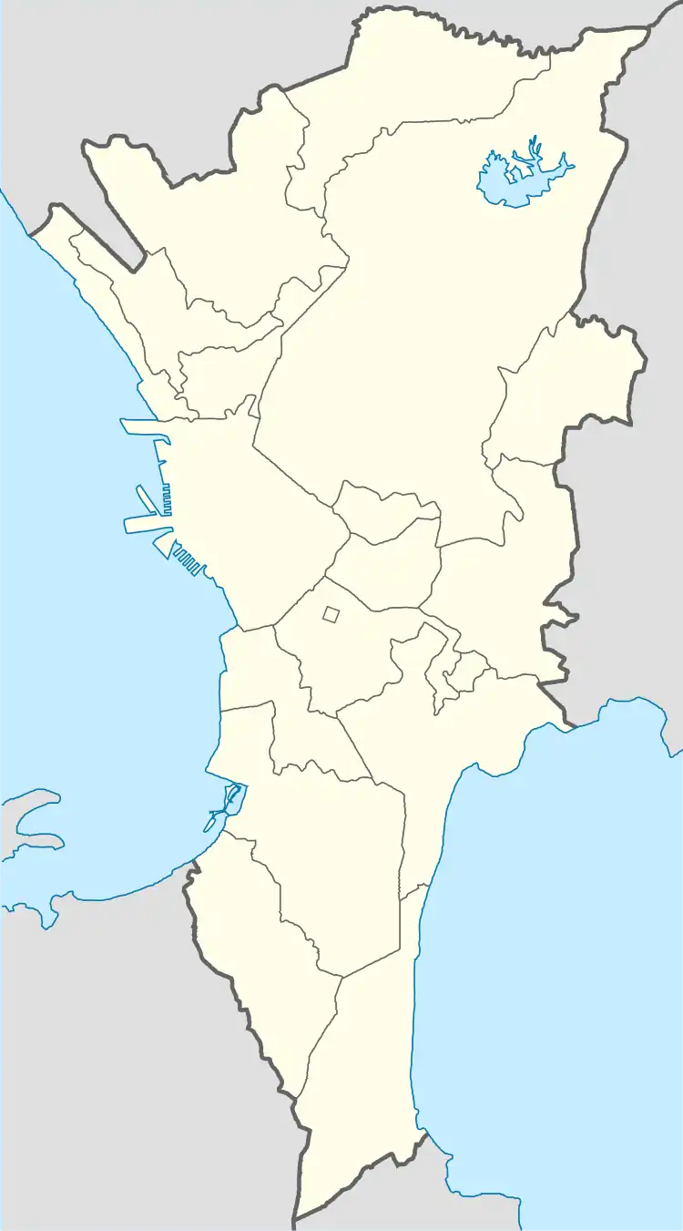
Locations of the river's bridges within Metro Manila
The crossings are listed in order starting from its source at the tri-junction with the Boso Boso River and the Sapa Bute River and proceeding downstream at the Pasig River.
As of 2015, there are a total of sixteen bridge spans that cross the Marikina River, including one rail bridge, carrying the LRT Line 2 track.
Crossings
| # | Crossing | Image | West bank | Carries | East bank | Built | Coordinates |
|---|---|---|---|---|---|---|---|
| 1 | Pacific Bridge | Rodriguez, Rizal | Two lanes to Pacific Concrete Products Inc. Access Road | Rodriguez, Rizal | 14.44°N 121.10°E | ||
| 2 | Rancho Luisito Way Bridge | Two lanes of Rancho Luisito Way | 14.44°N 121.9°E | ||||
| 3 | Eastwood Greenview Bridge | Eastwood Greenview Drive | 14.44°N 121.9°E | ||||
| 4 | Phil Rock Spillway Bridge | Two lanes of C. Reyes Street | 14.44°N 121.9°E | ||||
| 5 | San Jose Bridge Montalban Bridge |
 |
Four lanes of Rodriguez Highway | 14.43°N 121.7°E | |||
| 6 | Batasan–San Mateo Bridge |  |
Quezon City | Four lanes of Batasan-San Mateo Road | San Mateo, Rizal | 14.40°N 121.6°E | |
| 7 | Gil Fernando Bridge Tumana Bridge |
 |
Marikina | Two lanes between Moscow Street and Bagong Farmers 1 Avenue | Marikina | 2007[1] | 14.39°N 121.5°E |
| 8 | Marikina Bridge A. Bonifacio Bridge |
 |
Four lanes of A. Bonifacio Avenue | 1979[2] | 14.38°N 121.5°E | ||
| 9 | Marcos Bridge |  |
Six lanes of |
1979[2] | 14.39°N 121.20°E | ||
| 10 | LRT Line 2 bridge |  |
LRT Line 2 | 14.37°N 121.4°E | |||
| 11 | Diosdado Macapagal Bridge | _E911a_08.jpg.webp) |
Four lanes of FVR Road | 14.37°N 121.4°E | |||
| 12 | Caruncho Bridge | Quezon City | Two lanes of Caruncho Road | Pasig | 14.36°N 121.5°E | ||
| 13 | Bridgetowne Viaduct | _E911a_37.jpg.webp) |
Two lanes of Bridgetowne Boulevard | 2019[3] | 14.6°N 121.1°E | ||
| 14 | Rosario Bridge |  |
Pasig | Six lanes of |
1979[2] | 14.35°N 121.5°E | |
| 15 | Sandoval Bridge |  |
Two lanes of Eagle Street | 14.586°N 121.025°E | |||
| 16 | Kaginhawaan Bridge | Lanuza Avenue to P. Conducto Street | 2017 | 14.34°N 121.04°E | |||
| 17 | Vargas Bridge |  |
Four lanes of Pasig Boulevard Extension | 1992[2] | 14.33°N 121.27°E | ||
| 18 | Santa Rosa de Lima Bridge |  |
Two lanes of Dr. Garcia Street | 14.33°N 121.4°E |
Planned crossings
| Crossing | West bank | Carries | East bank | Projected completion |
Coordinates |
|---|---|---|---|---|---|
| Kabayani–Katipunan Bridge[4] | Pansol, Quezon City | Kabayani Road and Katipunan Street | Malanday, Marikina | ||
| Reposo–Guatemala Bridge[5] | Reposo Street and Guatemala Street | ||||
| J.P. Rizal–Yale Bridge[6] | J.P. Rizal Street and Yale Street | ||||
| G. Gabriel Street–Mercury Avenue Bridge[7] | Libis, Quezon City | G. Gabriel Street and Mercury Avenue | Santolan, Pasig |
References
- Navarro, Ronaldo (May 4, 2007). "New bridge in Marikina". The Manila Times. p. A2. Retrieved March 7, 2023.
- "Road and Bridge Inventory". Department of Public Works and Highways. Archived from the original on June 30, 2022. Retrieved July 16, 2022.
- "New QC-Pasig bridge opens to public". Philippine Daily Inquirer. September 6, 2019. Retrieved June 27, 2023.
- Lamentillo, Anna Mae (3 November 2017). "Build Build Build: Metro Manila Logistics Infrastructure Network". Manila Bulletin. Retrieved 23 January 2018.
- Aning, Jerome (July 20, 2017). "BGC-Ortigas Center link to ease traffic across the Pasig". Manila Bulletin. Retrieved January 23, 2018.
- Unite, Betheena Kae (July 19, 2017). "Bridge to link Pasig, Taguig business hubs". Manila Bulletin. Retrieved January 23, 2018.
- Iglesias, Myla (July 20, 2017). "BGC-Ortigas road starts construction". Manila Bulletin. Retrieved January 23, 2018.
This article is issued from Wikipedia. The text is licensed under Creative Commons - Attribution - Sharealike. Additional terms may apply for the media files.