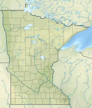
Little Fork River
The Little Fork River (French: Rivière Petite Fourche; Ojibwe: Baaganowe-ziibi) is a river of Minnesota. It flows into the Rainy River.[2][3]
| Little Fork River | |
|---|---|
 Mouth of the Little Fork River | |
| Location | |
| Country | United States |
| State | Minnesota |
| County | Koochiching County, St. Louis County |
| Physical characteristics | |
| Source | |
| • coordinates | 47.8201962°N 92.4662798°W |
| Mouth | Rainy River |
• coordinates | 48.5274451°N 93.5879362°W |
| Length | 160 mi (260 km)[1] |
| Basin size | 1,179,520 acres |
| Basin features | |
| River system | Rainy River |
References
- "Little Fork River". Minnesota Pollution Control Agency. Retrieved April 12, 2021.
- U.S. Geological Survey Geographic Names Information System: Little Fork River
- "Little Fork River State Water Trail Map" (PDF). Minnesota Department of Natural Resources. Retrieved April 27, 2021.
- Minnesota Watersheds
- USGS Hydrologic Unit Map - State of Minnesota (1974)
This article is issued from Wikipedia. The text is licensed under Creative Commons - Attribution - Sharealike. Additional terms may apply for the media files.