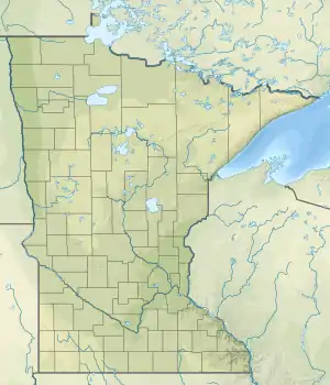
Little Rock Lake (Benton County, Minnesota)
Little Rock Lake is a reservoir in Benton County, Minnesota, United States. The lake was formed in 1911 by the impounding of the Mississippi River by the Sartell Dam 5 miles (8 km) downriver. Little Rock Lake was named from Little Rock Creek.[3]
| Little Rock Lake | |
|---|---|
 Little Rock Lake  Little Rock Lake | |
| Location | Benton County, Minnesota, United States |
| Coordinates | 45°44′18″N 94°10′02″W |
| Type | Reservoir |
| Primary inflows | Mississippi River |
| Primary outflows | Mississippi River |
| Basin countries | United States |
| Surface area | 2.27 mi² (5.87 km²)[1] |
| Max. depth | 23 ft (7.0 m)[1] |
| Surface elevation | 1,015 ft (309 m)[2] |
| References | [1][2] |
The lake has two public boat access points. Water clarity in the lake is low (less than 1.5 feet) and there are almost no aquatic plants.[1]
References
- "Lake information report". Minnesota Department of Natural Resources. 2002-05-15.
- "Lake water level report". Minnesota Department of Natural Resources. 2007-04-24.
- Upham, Warren (1920). Minnesota Geographic Names: Their Origin and Historic Significance. Minnesota Historical Society. p. 52.
External links
- Like Rock Lake Information Minnesota Department of Natural Resources
- Little Rock Lake Association
This article is issued from Wikipedia. The text is licensed under Creative Commons - Attribution - Sharealike. Additional terms may apply for the media files.