Llamahuasi
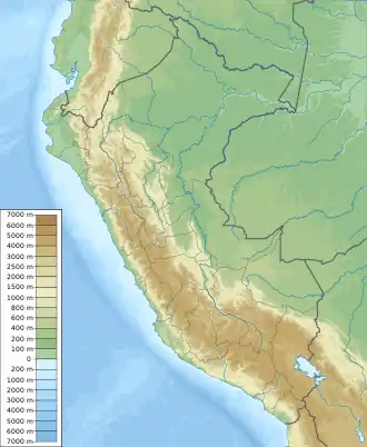
Llamahuasi (possibly from Quechua llama llama, wasi house,[2] "llama house") is a 4,728-metre-high (15,512 ft) mountain in the Vilcabamba mountain range in the Andes of Peru. It is located in the Cusco Region, Anta Province, Limatambo District, and in the Urubamba Province, Ollantaytambo District. Llamahuasi lies southwest of Mount Huayanay and Ocobamba.[3]
| Llamahuasi | |
|---|---|
 Llamahuasi Peru | |
| Highest point | |
| Elevation | 4,728 m (15,512 ft)[1] |
| Coordinates | 13°21′53″S 72°27′43″W |
| Naming | |
| Language of name | Quechua |
| Geography | |
| Location | Peru, Cusco Region |
| Parent range | Andes, Vilcabamba |
References
- "Cerro Llamahuasi". IGN, Peru. Archived from the original on September 24, 2015. Retrieved June 23, 2015.
- Teofilo Laime Ajacopa (2007). Diccionario Bilingüe: Iskay simipi yuyayk’anch: Quechua – Castellano / Castellano – Quechua (PDF). La Paz, Bolivia.
{{cite book}}: CS1 maint: location missing publisher (link) - escale.minedu.gob.pe - UGEL map of the Urubamba Province (Cusco Region)
This article is issued from Wikipedia. The text is licensed under Creative Commons - Attribution - Sharealike. Additional terms may apply for the media files.