Long Branch (Lawsons Creek tributary)
Long Branch is a 2.24 mi (3.60 km) long 3rd order tributary to Lawsons Creek in Halifax County, Virginia.
| Long Branch Tributary to Lawsons Creek | |
|---|---|
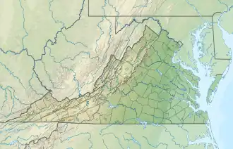 Location of Long Branch mouth  Long Branch (Lawsons Creek tributary) (the United States) | |
| Location | |
| Country | United States |
| State | Virginia |
| County | Halifax |
| Physical characteristics | |
| Source | unnamed tributary to Powells Creek divide |
| • location | Alton, Virginia |
| • coordinates | 36°34′32″N 079°00′39″W[1] |
| • elevation | 540 ft (160 m)[1] |
| Mouth | |
• location | about 1.5 miles southeast of Turbeville, Virginia |
• coordinates | 36°36′21″N 079°01′51″W[2] |
• elevation | 420 ft (130 m)[2] |
| Length | 2.24 mi (3.60 km)[3] |
| Basin size | 3.53 square miles (9.1 km2)[4] |
| Discharge | |
| • location | Lawsons Creek |
| • average | 4.58 cu ft/s (0.130 m3/s) at mouth with Lawsons Creek[4] |
| Basin features | |
| Progression | Lawsons Creek → Dan River → Roanoke River → Albemarle Sound → Pamlico Sound → Atlantic Ocean |
| River system | Roanoke River |
| Tributaries | |
| • left | West Branch Long Branch |
| • right | unnamed tributaries |
| Bridges | none |
Course
Long Branch rises in Alton, Virginia and then flows northwest and to join Lawsons Creek about 1.5 miles southeast of Turbeville.[2]
Watershed
Long Branch drains 3.53 square miles (9.1 km2) of area, receives about 45.8 in/year of precipitation, has a wetness index of 385.81, and is about 50% forested.[4]
See also
References
- "Get Maps". USGS Topoview. US Geological Survey. Retrieved 11 September 2021.
- "Get Maps". USGS Topoview. US Geological Survey. Retrieved 11 September 2021.
- "ArcGIS Web Application". epa.maps.arcgis.com. US EPA. Retrieved 11 September 2021.
- "Long Branch Watershed Report". US EPA Geoviewer. US EPA. Retrieved 11 September 2021.
Watershed Maps
_in_Halifax_County%252C_Virginia%252C_USA.jpg.webp)
Course of Long Branch (Lawsons Creek tributary) in Halifax County, Virginia, USA
_in_Halifax_County%252C_Virginia%252C_USA.jpg.webp)
Watershed of Long Branch (Lawsons Creek tributary) in Halifax County, Virginia, USA
This article is issued from Wikipedia. The text is licensed under Creative Commons - Attribution - Sharealike. Additional terms may apply for the media files.