Long Pine Creek
Long Pine Creek is a 37.14 mi (59.77 km) long fourth-order tributary to the Niobrara River in Rock and Brown Counties, Nebraska.[4] The creek was named from the dense growth of pine trees along its banks.[5]
| Long Pine Creek Tributary to Niobrara River | |
|---|---|
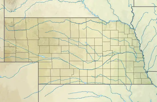 Location of Long Pine Creek mouth  Long Pine Creek (the United States) | |
| Location | |
| Country | United States |
| State | Nebraska |
| County | Rock Brown |
| City | Long Pine |
| Physical characteristics | |
| Source | Calamus River divide |
| • location | about 4 miles north-northeast of Hofeld Lake |
| • coordinates | 42°27′24.00″N 099°48′5.45″W[1] |
| • elevation | 2,547 ft (776 m)[1] |
| Mouth | Niobrara River |
• location | about 3 miles west-southwest of Riverview, Nebraska |
• coordinates | 42°43′25.00″N 099°37′41.42″W[1] |
• elevation | 2,008 ft (612 m)[1] |
| Length | 37.14 mi (59.77 km)[2] |
| Basin size | 437.21 square miles (1,132.4 km2)[3] |
| Discharge | |
| • location | Niobrara River |
| • average | 179.16 cu ft/s (5.073 m3/s) at mouth with Niobrara River[3] |
| Basin features | |
| Progression | Niobrara River → Missouri River → Mississippi River → Gulf of Mexico |
| River system | Niobrara |
| Tributaries | |
| • left | Willow Creek Bone Creek |
| • right | Spring Branch Short Pine Creek |
| Bridges | S. Pine Avenue (x2), N Kyner Road, US 20, Bar 25 Road, 889th Road |
Course
Long Pine Creek rises on the divide of the Calamus River in the Nebraska Sandhills about 4 miles north-northeast of Hofeld Lake in Brown County and then flows generally north-northeast into Rock County to join the Niobrara River about 3 miles (4.8 km) west-southwest of Riverview, Nebraska.[1]
Watershed
Long Pine Creek drains 437.21 square miles (1,132.4 km2) of area, receives about 23.0 in/year (58 cm/year) of precipitation, and is about 3.96% forested.[3]
See also
References
- "Geographic Names Information System". edits.nationalmap.gov. US Geological Survey. Retrieved 19 November 2022.
- "ArcGIS Web Application". epa.maps.arcgis.com. US EPA. Retrieved November 19, 2022.
- "Long Pine Creek Watershed Report". watersgeo.epa.gov. US EPA. Retrieved 19 November 2022.
- U.S. Geological Survey Geographic Names Information System: Long Pine Creek
- Chicago and North Western Railway Company (1908). A History of the Origin of the Place Names Connected with the Chicago & North Western and Chicago, St. Paul, Minneapolis & Omaha Railways. p. 95.
This article is issued from Wikipedia. The text is licensed under Creative Commons - Attribution - Sharealike. Additional terms may apply for the media files.