Luvua Airport
Luvua Airport (ICAO: FZRO) is an airstrip atop a mesa overlooking the Luvua River in Haut-Katanga Province, Democratic Republic of the Congo.
Luvua Airport | |||||||||||
|---|---|---|---|---|---|---|---|---|---|---|---|
| Summary | |||||||||||
| Airport type | Public | ||||||||||
| Serves | Luvua | ||||||||||
| Elevation AMSL | 4,298 ft / 1,310 m | ||||||||||
| Coordinates | 7°55′50″S 28°31′45″E | ||||||||||
| Map | |||||||||||
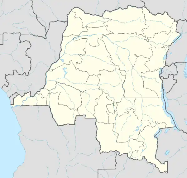
 FZRO Location of the airport in Democratic Republic of the Congo | |||||||||||
| Runways | |||||||||||
| |||||||||||
Built and used by the Orbital Transport und Raketen AG (OTRAG) until 1979 with the blessing and support of Mobutu then President of Zaïre (now Democratic Republic of the Congo). Many webpages and documentaries are available about this extraordinary experience.
See also
References
- Google Maps - Luvua
- Airport information for Luvua Airport at Great Circle Mapper.
External links
- FallingRain - Luvua Airport
- HERE Maps - Luvua
- OpenStreetMap - Luvua
- OurAirports - Luvua
- Accident history for Luvua Airport at Aviation Safety Network
- OTRAG
This article is issued from Wikipedia. The text is licensed under Creative Commons - Attribution - Sharealike. Additional terms may apply for the media files.