Radohina
Radohina is a massif situated in the Albanian Alps, within the boundaries of Shkodër municipality. Its main peak, Maja e Radohinës, reaches a height of 2,568 m (8,425 ft).[1]
| Radohina | |
|---|---|
| Maja "Shkurte Pal Vata" | |
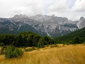 View of Radohina from Theth | |
| Highest point | |
| Elevation | 2,568 m (8,425 ft) |
| Prominence | 856 m (2,808 ft) |
| Isolation | 6.2 km (3.9 mi) |
| Coordinates | 42°25′37″N 19°43′32″E |
| Geography | |
 Radohina | |
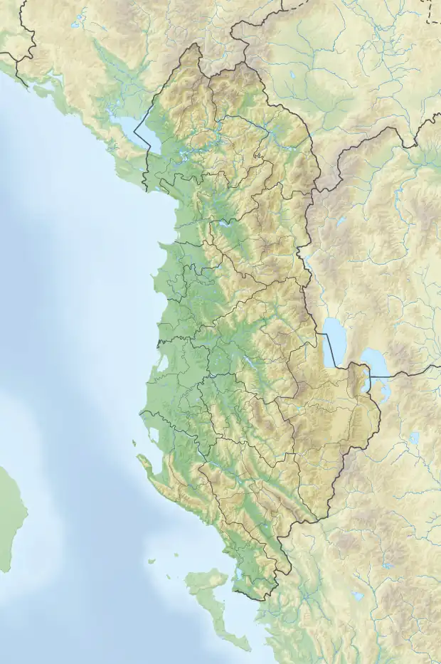
| Country | |
| Region | Northern Mountain Region |
| Municipality | Shkodër |
| Parent range | Accursed Mountains |
| Geology | |
| Age of rock | Mesozoic |
| Mountain type | massif |
| Type of rock | limestone, dolomite |
Geology
Radohina lies between the valleys of Theth in the southeast and Cemi i Vuklit in the northwest. A dome-shaped mountain mass composed entirely of Mesozoic limestone and dolomite, it features steep slopes that drop into the Bogë meadow and Theth pits, with the glacial cirques of Kllogjen and Radohina pits surrounding it in the northeast and southwest. Two other peaks rise on both sides of the mountain, Vishnje 2,517 m (8,258 ft) in the northeast and Maja e Thatë 2,541 m (8,337 ft) in the southwest. Like many other massifs in the Albanian Alps, Radohina is mostly devoid of vegetation.[2]
See also
References
- Kabo, Mevlan (1991). Gjeografia Fizike e Shqipërisë (1.2 ed.). Tiranë: Qendra e Studimeve Gjeografike. p. 592.
- Buda, Aleks (1985). Fjalori Enciklopedik Shqiptar. Tiranë: Akademia e Shkencave e RPSSH. p. 1248.