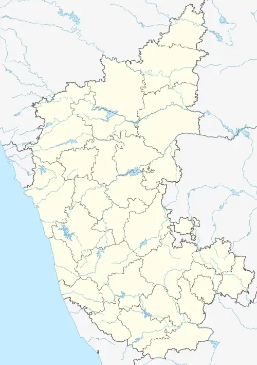
Mandikal
Mandikal (Kannada: ಮಂಡಿಕಲ್) is a village located in present Chikkaballapura taluk, Karnataka, India. As of 2011, it had a population of 910.[1] It is 5.06 km² in area.
Mandikal
ಮಂಡಿಕಲ್ | |
|---|---|
 Mandikal  Mandikal | |
| Coordinates: 13°36′00″N 77°44′00″E | |
| Country | India |
| State | Karnataka |
| Taluk | Chikkaballapura |
| Area | |
| • Land | 5.06 km2 (1.95 sq mi) |
| Elevation | 921 m (3,022 ft) |
| Population (2011) | |
| • Total | 910 |
| Time zone | UTC+5:30 |
| Area code | 08158 |
Geography and culture
The village is situated about 80 km from Bengaluru and the nearest highway is NH-44. Mandikal is classified as a hobli, and it has a government school with grades from 1st standard to 10th standard. A Government ITI and PU college are also located in the village. Nearby villages are Gundalamandikal, Hosahalli, Bachenahalli, Yatagana halli, Nalapana halli, Jegana halli, Jidamakala halli, Yarabapana halli and Kammaguta halli.
Kannada and Telugu are the two main languages of the settlement.
It lies along the route to the popular trekking destination of Avulabetta hill.
Economy
The main occupation of the village's residents are subsistence farming and herding.
References
- "2011 Census of India". censusindia.gov. Archived from the original on 13 November 2015. Retrieved 13 June 2023.