Mansel Lacy
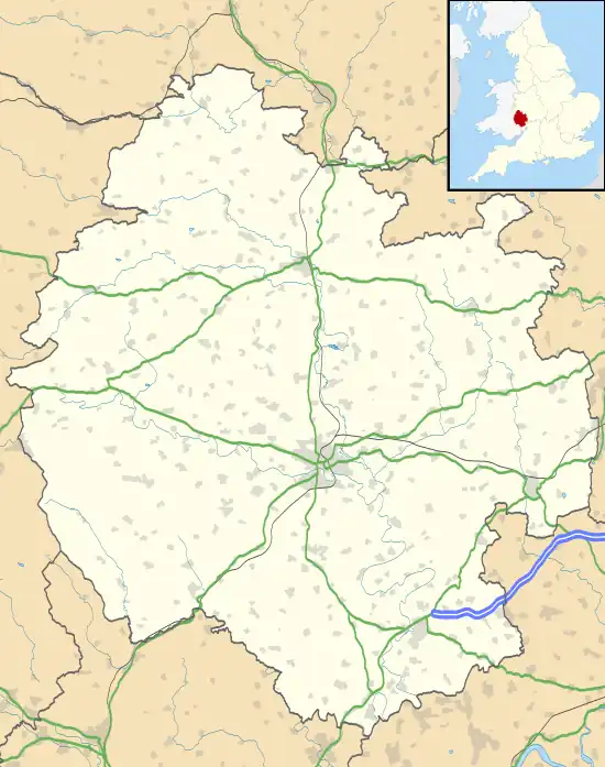
Mansel Lacy (alternatively spelled Mansell Lacy) is a small village and civil parish in Herefordshire, England. It is 7 miles (11 km) north west of Hereford, close to the A480 road.
| Mansel Lacy | |
|---|---|
 Mansel Lacy Location within Herefordshire | |
| Population | 139 [1] |
| OS grid reference | SO425455 |
| Unitary authority | |
| Ceremonial county | |
| Region | |
| Country | England |
| Sovereign state | United Kingdom |
| Post town | HEREFORD |
| Postcode district | HR4 |
| Dialling code | 01981 |
| Police | West Mercia |
| Fire | Hereford and Worcester |
| Ambulance | West Midlands |
| UK Parliament | |
The population of the parish at the 2011 Census was 139.[1]
The church of St Michael and All Angels dates from between the 11th and 13th centuries.[2]
Mansel Lacy was the overall winner of Herefordshire in the 2008 Calor Village of the Year competition.[3]
History
Mansel Lacy is mentioned in an Anglo-Saxon charter (Sawyer: 1469) from c. 1045, half a hide of which is bought as an estate.[4][5] It appears as Mælueshylle, probably meaning 'hill on which the mallow grows' from Old English malu + hyll.[6]
The village has two entries in the Domesday Book (1086) as Malveselle in the hundred of Stepleset. It is quite small with only 11 households yet is assessed for a relatively large amount of tax of 5 geld units.[7]
References
- "2011 Census: Usual resident population estimates by five-year age group for Parishes in Herefordshire". United Kingdom Census 2011. Herefordshire Council. 2012. Archived from the original (xls) on 2 February 2014. Retrieved 23 April 2014.
- "Mansel Lacy Church at Herefordshire Churches". Archived from the original on 18 February 2011. Retrieved 29 March 2011.
- The Foxley New (Autumn 2008)
- "S 1469". The Electronic Sawyer. King's College London. Retrieved 8 August 2016.
- Anglo-Saxon Charters. CUP Archive. 1939. pp. 186–187.
- Lockie, Mel. "Herefordshire Placenames M". Retrieved 8 August 2016.
- "Mansell [Lacy] | Domesday Book". Open Domesday.