Marmara Region
The Marmara Region (Turkish: Marmara Bölgesi) is a geographical region of Turkey.
Marmara
Marmara Bölgesi | |
|---|---|
 | |
| Coordinates: 41°00′N 29°00′E | |
| Country | Turkey |
| Capital | Istanbul |
| Provinces | |
| Government | |
| • Mayor of Istanbul | Ekrem İmamoğlu |
| Area | |
| • Total | 67,000 km2 (26,000 sq mi) |
| • Rank | 6th |
| Population (Jan. 2022)(INSEE) | |
| • Total | 27,050,405 |
| • Rank | 1st |
| Demonym | Turkish: Marmaralı |
| Time zone | UTC+03:00 (CET) |
| • Summer (DST) | UTC+03:00 (CEST) |
| ISO 3166 code | TR-IDF |
| GRP[1] | Ranked 1st |
| –Total | $582 billion / 1,405,514 milion (GDP PPP) in 2018 |
| –Per capita | €60,100 ($71,900) |
| NUTS Region | TR1 |
| Website | marmara |
.jpeg.webp)
.jpg.webp)


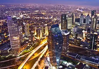
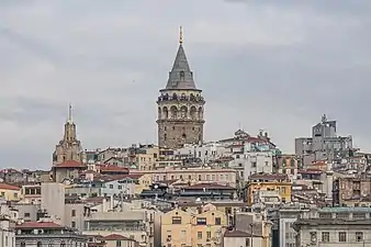
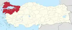
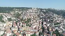
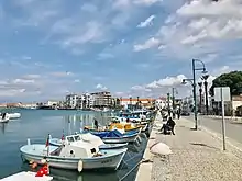
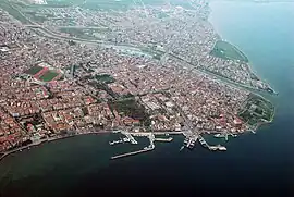
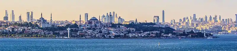
Located in northwestern Turkey, it is bordered by Greece and the Aegean Sea to the west, Bulgaria and the Black Sea to the north, the Black Sea Region to the east, and the Aegean Region to the south. At the center of the region is the Sea of Marmara, which gives the region its name. The largest city in the region is Istanbul. Other big cities are Bursa, İzmit, Balıkesir, Tekirdağ, Çanakkale and Edirne.
Among the seven geographical regions, the Marmara Region has the second-smallest area, yet the largest population; it is the most densely populated region in the country.
.jpg.webp)
Subdivision
Ecoregions
Provinces
Provinces that are entirely in the Marmara Region:
Provinces that are mostly in the Marmara Region:

Geography
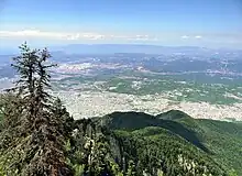
The Yıldız Mountains and Uludağ are in the Marmara Region. Islands in the Aegean Sea are Gökçeada and Bozcaada, and in the Sea of Marmara are Marmara Island, Avşa, Paşalimanı, İmralı and the Princes' Islands of Istanbul.
Climate
The Marmara region has a hybrid mediterranean climate/humid subtropical climate on the Aegean Sea coast and the south Marmara Sea coast, an oceanic climate on the Black Sea coast and a humid continental climate in the interior. Summers are warm to hot and moderately dry whereas winters are cool, wet and sometimes snowy. The coastal climate keeps the temperatures relatively mild.
See also
References
External links
- Golyaka Village, Bursa (in Turkish)