Maslovare, Kotor Varoš
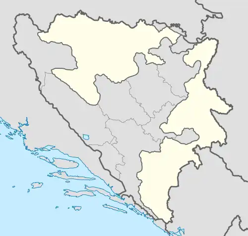
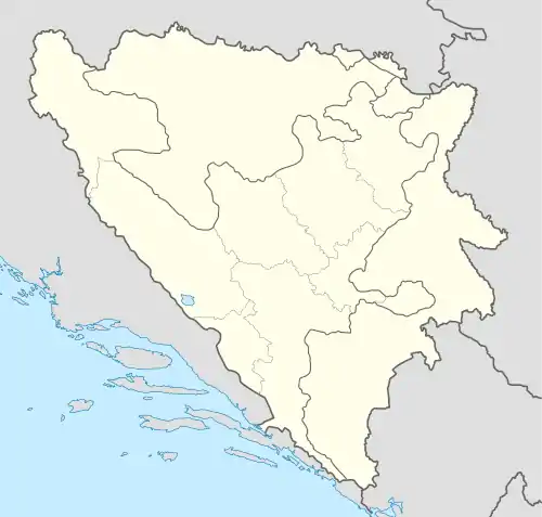
Maslovare (Serbian Cyrillic: Масловаре) is a village in the central Bosnia, Bosnia and Herzegovina, Republika Srpska , Kotor Varoš Municipality.[1][2][3]
Maslovare | |
|---|---|
Village | |
 Maslovare  Maslovare | |
| Coordinates: 44°33′56″N 17°32′01″E | |
| Country | Bosnia and Herzegovina |
| Entity | Republika Srpska |
| Municipality | Kotor Varoš |
| Time zone | UTC+1 (CET) |
| • Summer (DST) | UTC+2 (CEST) |
Geography
Maslovare is the administrative center of the Local Community. It is located on the river Kruševica, below the eastern slopes of the mountain Borja (1,077 m), at 400–418 meters above sea level. From the north are the slopes of Uzlomac (1,018 m) Mountain, from the east – Rađeno brdo (967 m), west - Bodnjički Vis.[4] On the south, Krusevica and Vrbanja river vallies there are the slopes of mountains chain Čemernica – Vlasic (Borci, 814 m). Bodnjički Vis (641 m) spreads from the mouth of Krusevice into Vrbanja to the mouth Jezerka in the same river. On it is a contemporary TV repeater of BHT.[5]
Through Maslovare passes the road Banja Luka – Kotor Varoš – Teslić – Matuzići – Doboj, where this communication comes to M-17 (as Corridor Vc). In this village hall (in the Obodnik ) is the exit of local roads for Šiprage and Kruševo Brdo. The distance to Banja Luka is around 53 km.[3]
Population
| Maslovare[6][7] | ||||||
| Census Year | 1991 | 1981 | 1971 | |||
| Serbs | 2,208 (96.67%) | 2,190 (99.27%) | 1,983 (98.69%) | |||
| Croats | 12 (0.52%) | 2 (0.09%) | 3 (0.14%) | |||
| Moslems | 0 | 3 (0.13%) | 8 (0.39%) | |||
| Yugoslavians | 35 (1.53%) | 8 (0.36%) | 4 (0.19%) | |||
| Others and unknown | 29 (1.26%) | 3 (0.16%) | 13 (0.64%) | |||
| Total | 2,284 | 2,206 | 2,011 | |||
Municipality populations of Kotor Varoš County, 1953
| Census area | Total | Serbs | Croats | Slovenians | Macedonians | Crnogorci | Yugoslavs undecided |
Czechs | Poljaci | Resins – Ukrainians |
Other Slavs | Other Non-Slavs |
| KOTOR VAROŠ COUNTY | 37898 | 25008 | 6485 | 4 | 4 | 10 | 6375 | 2 | – | 2 | – | 8 |
| Kotor Varoš | 4715 | 805 | 2640 | 2 | 3 | 6 | 1253 | 1 | – | 1 | – | 4 |
| Maslovare | 4574 | 3966 | 8 | – | – | – | 600 | – | – | – | – | – |
| Previle | 4576 | 3537 | 696 | – | – | – | 342 | – | – | – | – | 1 |
| Skender Vakuf | 7100 | 6566 | 16 | – | – | – | 518 | – | – | – | – | – |
| Šiprage | 7746 | 6036 | 24 | 1 | 1 | – | 1682 | – | – | – | – | 2 |
| Vrbanjci | 4919 | 1678 | 1728 | 1 | – | 4 | 1505 | 1 | – | 1 | – | 1 |
| Zabrđe | 4268 | 2420 | 1373 | – | – | – | 475 | – | – | – | – | – |
Notable people
Nevenka Petrić (1927-2015), writer, educationalist and expert for family planning and gender issues.
Sources
- Book: "Nacionalni sastav stanovništva - Rezultati za Republiku po opštinama i naseljenim mjestima 1991.", statistički bilten br. 234, Izdanje Državnog zavoda za statistiku Republike Bosne i Hercegovine, Sarajevo.
- Internet - Source: "Popis po mjesnim zajednicama" - https://web.archive.org/web/20131005002409/http://www.fzs.ba/Podaci/nacion%20po%20mjesnim.pdf
- Mape, aerodromi i vremenska situacija lokacija (-{Fallingrain}-)
- http://www.maplandia.com/bosnia-and-herzegovina/republika-srpska/maslovare-44-33-56-n-17-32-1-e/ Google satelitska mapa
References
- Vojnogeografski institut, Izd. (1955): Prnjavor (List karte 1:100.000, Izohipse na 20 m). Vojnogeografski institut, Beograd.
- Spahić M. et al. (2000): Bosna i Hercegovina (1:250.000). Izdavačko preduzeće „Sejtarija", Sarajevo.
- Mučibabić B., Ed. (1998): Geografski atlas Bosne i Hercegovine. Geodetski zavod BiH, Sarajevo, ISBN 9958-766-00-0.
- "Photo - BODNJIČKI VIS POGLED PREMA RAŠTANIMA - Pictures Of Borci, Republika Srpska, Bosnia & Herzegovina - Travel Photos :: AllTravels :: Anywhere You Want To Go ::". alltravels.com. Archived from the original on 29 December 2014. Retrieved 11 February 2015.
- Bosnien. "Bosnien - Bijelobor - BODNJIČKI VIS POGLED PREMA RAŠTANIMA". 87.237.213.17. Archived from the original on 29 December 2014. Retrieved 11 February 2015.
- Book: "Nacionalni sastav stanovništva - Rezultati za Republiku po općinama i naseljenim mjestima 1991.", Statistički bilten br. 234, Izdanje Državnog zavoda za statistiku Republike Bosne i Hercegovine, Sarajevo.
- Internet – Source: "Popis po mjesnim zajednicama" - "Archived copy" (PDF). Archived from the original (PDF) on 5 October 2013. Retrieved 26 March 2013.
{{cite web}}: CS1 maint: archived copy as title (link) - http://pod2.stat.gov.rs/ObjavljenePublikacije/G1953/pdf/G19534001.pdf. Archived 3 March 2016 at the Wayback Machine