Zastron
Zastron is a small agricultural town in the Free State province of South Africa, some 30 km from the border of Lesotho. It is situated at the foot of Aasvoëlberg (Vulture Mountain), named for the rare Cape vultures attracted by a feeding project a short distance out of town. A curious rock formation in the mountain, Die Oog (The Eye), has been adopted as the town's unofficial emblem.
Zastron | |
|---|---|
 Zastron 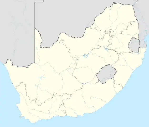 Zastron | |
| Coordinates: 30°18′S 27°05′E | |
| Country | South Africa |
| Province | Free State |
| District | Xhariep |
| Municipality | Mohokare |
| Established | 1875[1] |
| Government | |
| • Type | Municipality |
| • Mayor | Zingisa Mgauli [2] (ANC) |
| Area | |
| • Total | 22.7 km2 (8.8 sq mi) |
| Population (2011)[3] | |
| • Total | 15,607 |
| • Density | 690/km2 (1,800/sq mi) |
| Racial makeup (2011) | |
| • Black African | 94.8% |
| • Coloured | 0.6% |
| • Indian/Asian | 0.4% |
| • White | 4.1% |
| • Other | 0.1% |
| First languages (2011) | |
| • Sotho | 69.2% |
| • Xhosa | 22.4% |
| • Afrikaans | 5.1% |
| • Other | 3.3% |
| Time zone | UTC+2 (SAST) |
| Postal code (street) | 9950 |
| PO box | 9950 |
| Area code | 051 Farm lines: 05542 |
The town was founded in 1876 on the farm Verliesfontein, and named after the maiden name of President Brand's wife, Johanna Sibella Brand, née Zastron.[4]
Notable people
- David Rabin (1934-1984), university endocrinology professor
- Steyn von Rönge (*1955), farmer, politician and President of the Afrikaner Weerstandsbeweging (AWB)
Notes
- Robson, Linda Gillian (2011). "Annexure A" (PDF). The Royal Engineers and settlement planning in the Cape Colony 1806–1872: Approach, methodology and impact (PhD thesis). University of Pretoria. pp. xlv–lii. hdl:2263/26503.
- Free State Tourism.org Archived January 6, 2014, at the Wayback Machine
- Sum of the Main Places Matlakeng and Zastron from Census 2011.
- Raper, P.E. (2004). South African Place Names. Jonathan Ball, Jhb & Cape Town. p. 415. ISBN 1-86842-190-2.
External links
Places adjacent to Zastron | ||||||||||||||||
|---|---|---|---|---|---|---|---|---|---|---|---|---|---|---|---|---|
| ||||||||||||||||
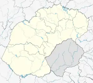
Municipalities and communities of Xhariep District Municipality, Free State | ||
|---|---|---|
District seat: Trompsburg | ||
| Kopanong | .svg.png.webp) Xhariep District within South Africa | |
| Letsemeng | ||
| Mohokare | ||
| Naledi | ||
This article is issued from Wikipedia. The text is licensed under Creative Commons - Attribution - Sharealike. Additional terms may apply for the media files.