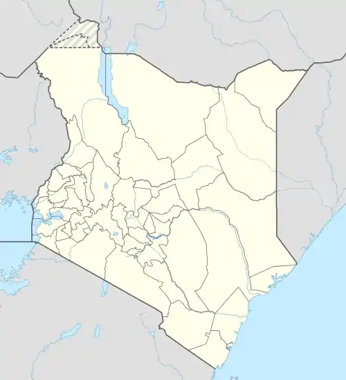
Mavueni
Mavueni is a neighborhood in the city of Kilifi, in Kenya's Kilifi County.
Mavueni | |
|---|---|
 Mavueni Location of Mavueni | |
| Coordinates: 03°37′24″S 39°50′57″E | |
| Country | Kenya |
| County | Kilifi County |
| Time zone | UTC+3 (EAT) |
Location
Mavueni is located at the southern tip of the city of Kilifi, approximately 58 kilometres (36 mi), by road, north of the port city of Mombasa.[1] The coordinates of Mavueni are: 3°37'24.0"S, 39°50'57.0"E (Latitude:-3.623329; Longitude:39.849166).[2]
Overview
Mavueni is a mixed residential-commercial neighborhood, hosting the main campus of Pwani University, warehouses of Mavueni Enterprises Limited, a branch of Tuskys Supermarkets, Kilifi County Hospital and Mavueni Primary School.[3] As the city of Kilifi expands and as the population increases, the area has seen increasing land disputes.[4][5]
The Mariakani–Kaloleni–Mavueni Road ends here, approximately 60 kilometres (37 mi), northeast of Mariakani.[6]
See also
References
- GFC (7 April 2016). "Distance between Mombasa, Kenya and Mavueni Enterprises Limited, Kilifi, Kenya". Globedfeed.com (GFC). Retrieved 7 April 2016.
- Google (7 April 2016). "Location of Mavueni, Kilifi, Kenya" (Map). Google Maps. Google. Retrieved 7 April 2016.
- Google (7 April 2016). "Map of Kilifi City, Kilifi County, Kenya" (Map). Google Maps. Google. Retrieved 7 April 2016.
- Joseph Masha, and Patrick Beja (12 September 2013). "Disputes stalk President Uhuru Kenyatta Coast title deNeds". The Standard (Kenya). Nairobi. Retrieved 7 April 2016.
- Kazungu, Samuel (8 December 2015). "Now squatters invade land in Kilifi to evict British farmer". Daily Nation. Nairobi. Retrieved 7 April 2016.
- GFC (7 April 2016). "Distance between Mariakani, Kilifi, Kenya and Kilifi Ganze Road Junction, Kilifi, Kenya". Globefeed.com (GFC). Retrieved 7 April 2016.