Mchauru
Mchauru is a village, in the south east of the country of Tanzania. Mchauru is also the name of the associated electoral division of Masasi District, Mtwara.[1] The area shares its name with the Mchauru River.
Mchauru | |
|---|---|
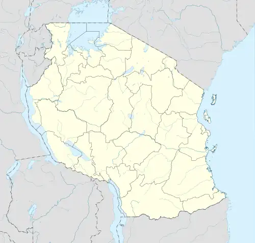
 Mchauru Location in Tanzania | |
| Coordinates: 11.0032°S 39.2577°E | |
| Country | Tanzania |
| Region | Mtwara Region |
| District | Masasi |
Geography
The village lies at a latitude of -11.003 and longitude of 39.258[2] and it has an elevation of 242 meters above sea level.[3] As at the 2022 census the electoral ward had a population of 12,941 living in 4,095 households.[4]
Mchauru River
The river is a left-bank tributary of the Ruvuma River, with its mouth near the village of Maparawe[5] at latitude 11.141 south longitude 39.130 east.
References
- "Administration and Human Resource" (in Swahili). Masasi District Council. Archived from the original on 25 November 2022. Retrieved 9 September 2023.
- "Mchauru, Tanzania". Google Maps. Retrieved 9 September 2023.
- "Mchauru (Tanzania)". Archived from the original on 2013-12-27. Retrieved 2013-12-25.
- "Administrative Units Population Distribution Report" (PDF). National Bureau of Statistics. p. 102. Retrieved 9 September 2023.
- "Mchauru, Mtwara Region, Tanzania". Hudson Institute of Mineralogy. Retrieved 9 September 2023.
This article is issued from Wikipedia. The text is licensed under Creative Commons - Attribution - Sharealike. Additional terms may apply for the media files.