Mchesi
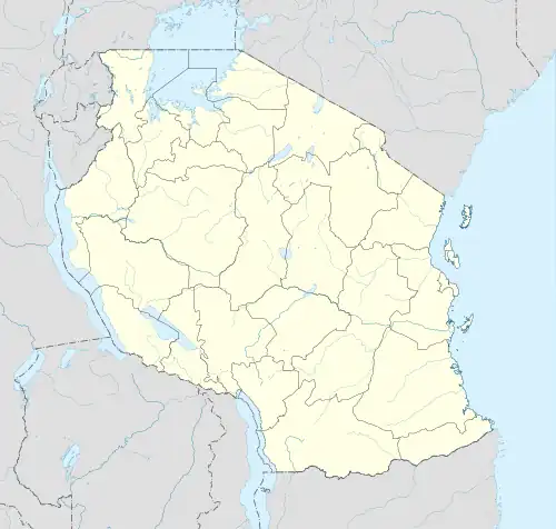
Mchesi is a rural ward of Tunduru District in Ruvuma Region, Tanzania. It is located on the northern shore of Ruvuma River, at an average elevation of 395 meters above the sea level.[1] According to the census held in 2012, it had a population of 8,781.[2]
Mchesi | |
|---|---|
 Mchesi | |
| Coordinates: 11°23′03″S 37°21′38″E | |
| Country | |
| Region | Ruvuma |
| District | Tunduru |
| Area | |
| • Total | 553.2 km2 (213.6 sq mi) |
| Elevation | 395 m (1,296 ft) |
| Population (2012) | |
| • Total | 8,781 |
| • Density | 16/km2 (41/sq mi) |
| Time zone | UTC+3 (EAT) |
References
- "Mchesi topographic map, elevation, terrain". Topographic maps. Retrieved 19 October 2023.
- "Mchesi (Rural Ward, Tanzania) - Population Statistics, Charts, Map and Location". www.citypopulation.de. Retrieved 19 October 2023.
This article is issued from Wikipedia. The text is licensed under Creative Commons - Attribution - Sharealike. Additional terms may apply for the media files.