Merrion, Dublin
Merrion (Irish: Muirfin)[1] is a townland and suburban area located about 4 km south east of Dublin City. The townland has an area of approximately 0.8 square kilometres (0.3 sq mi).[2]
Merrion | |
|---|---|
Suburb | |
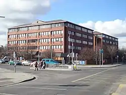 The Merrion Centre (shopping centre) | |
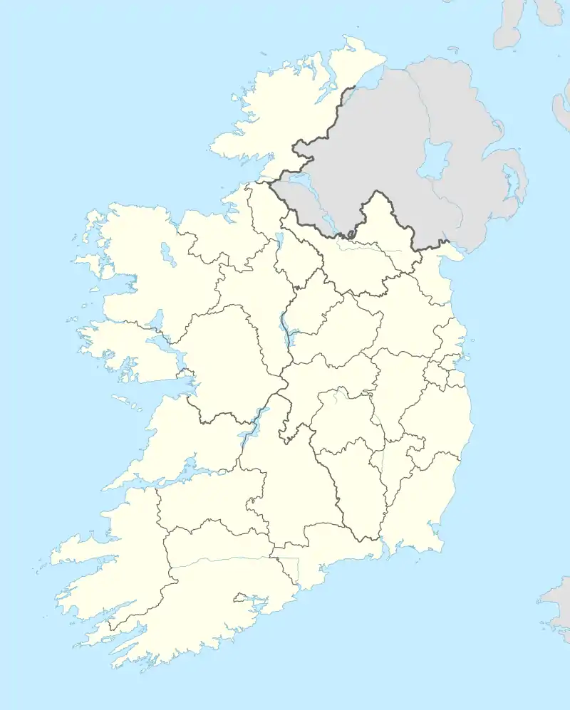 Merrion Location in Ireland | |
| Coordinates: 53°19′00″N 6°12′31″W | |
| Country | Ireland |
| Province | Leinster |
| County | City of Dublin |
| Government | |
| • Dáil constituency | Dublin Bay South |
| • Local authority | Dublin City Council |
| Time zone | UTC+0 (WET) |
| • Summer (DST) | UTC-1 (IST (WEST)) |
| Area code(s) | 01, +353 1 |
| Irish Grid Reference | O190325 |
Merrion is situated along the Merrion Road between Ballsbridge to the north and Booterstown to the south. This stretch of road, about 1 km long, contains a shopping mall (the Merrion Centre), St. Vincent's University Hospital, a Catholic church (Our Lady Queen Of Peace),[3] the Merrion Inn public house, a petrol station, a Bank of Ireland branch, a restaurant and several retail outlets.
Merrion lies within the administrative area of Dublin City, and ends at the border of the administrative area of Dún Laoghaire–Rathdown, near the Merrion Gates.
References
- "Muirfin / Merrion (baile fearainn)". logainm.ie. Placenames Database of Ireland. Retrieved 20 May 2022.
- "Merrion Townland, Co. Dublin". townlands.ie. Retrieved 20 May 2022.
- "Welcome to Our Lady Queen of Peace Parish". merrionroadchurch.ie.
This article is issued from Wikipedia. The text is licensed under Creative Commons - Attribution - Sharealike. Additional terms may apply for the media files.