Mjogsjøoksli
Mjogsjøoksli is a mountain in Lesja Municipality in Innlandet county, Norway. The 1,667-metre (5,469 ft) tall mountain lies within Dovrefjell-Sunndalsfjella National Park, about 18 kilometres (11 mi) northeast of the village of Lesja. The mountain is surrounded by several other mountains including Skredahøin which is about 4.5 kilometres (2.8 mi) to the northeast, Storstyggesvånåtinden which is about 8 kilometres (5.0 mi) to the north-northeast, Mjogsjøhøi which is 4 kilometres (2.5 mi) to the north, and Hatten which is about 6 kilometres (3.7 mi) to the west.
| Mjogsjøoksli | |
|---|---|
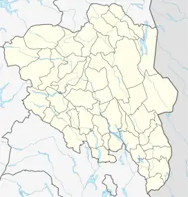 Mjogsjøoksli Location of the mountain 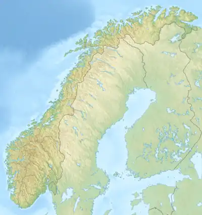 Mjogsjøoksli Mjogsjøoksli (Norway) | |
| Highest point | |
| Elevation | 1,667 m (5,469 ft)[1] |
| Prominence | 88 m (289 ft)[1] |
| Isolation | 4.8 km (3.0 mi)[1] |
| Coordinates | 62°13′16″N 9°07′25″E[2] |
| Geography | |
| Location | Innlandet, Norway |
| Parent range | Dovrefjell |
See also
References
- "Mjogsjøoksli". PeakVisor.com. Retrieved 8 April 2022.
- "Mjogsjøoksli, Lesja" (in Norwegian). yr.no. Retrieved 9 April 2022.
This article is issued from Wikipedia. The text is licensed under Creative Commons - Attribution - Sharealike. Additional terms may apply for the media files.