Mong Pawk
Mong Pawk (Wa: Mōung Bōg[1]) is a city in the de facto independent Wa State of far eastern Myanmar only 10 kilometres from the border with China. It is just south of Pangkham. It is now the largest city of Wa State.
Mong Pawk | |
|---|---|
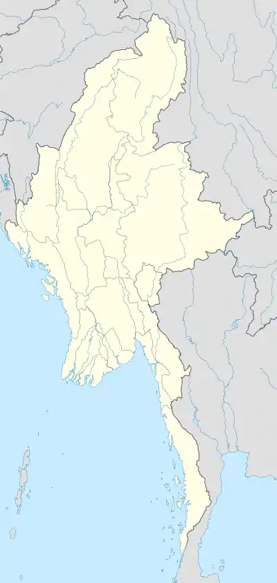 Mong Pawk Location in Burma | |
| Coordinates: 22°1′N 99°19′E | |
| Country | |
| Division | Shan State |
| District | Kengtung District |
| Township | Mong Yang Township |
| Population (2005) | |
| • Ethnicities | Shan Wa |
| • Religions | Buddhism |
| Time zone | UTC+6.30 (MST) |
Geography
Mong Yang is part of Mong Yang Township and is under Myanmar Government control, but Mong Pawk is under the control of UWSA. The 23rd anniversary of a mutiny was held in Mong Pawk on 17 April 2012.[2]
In 2008 the United Wa State Army (UWSA) was strongly against giving away the area of Mong Pawk from its control because it serves as a link with its ally, the National Democratic Alliance Army in Mongla.[3]
References
- Wang Jingliu (2014). 佤汉大词典 [Wa - Chinese Dictionary]. Kunming: Yunnan Nationalities Publishing House. p. 1174. ISBN 978-7-5367-6031-8.
- "Shan Herald Agency for News (S.H.A.N) | Shan Herald Agency for News – A News Agency covering different issues in Burma, with focus on that of its biggest state, Shan State". Archived from the original on 8 May 2016. Retrieved 30 April 2012.
- "Wa leader: UWSA able to defend itself". Archived from the original on 8 May 2016. Retrieved 30 April 2012.
This article is issued from Wikipedia. The text is licensed under Creative Commons - Attribution - Sharealike. Additional terms may apply for the media files.