Mont Vully
Mont Vully (653 m; in German also known as Wistenlacherberg[3]) is a hill of the Swiss Plateau, located between Lake Morat and Lake Neuchâtel in the canton of Fribourg, east of the border with the canton of Vaud.
| Mont Vully | |
|---|---|
 View from Lake Neuchâtel (north side) | |
| Highest point | |
| Elevation | 653 m (2,142 ft) |
| Prominence | 173 m (568 ft)[1] |
| Isolation | 10.3 km (6.4 mi)[2] |
| Coordinates | 46°57′50″N 07°05′38″E |
| Geography | |
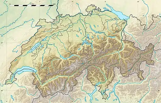 Mont Vully Location in Switzerland | |
| Location | Fribourg, Switzerland |
| Climbing | |
| Easiest route | Trail |
The south side, overlooking Murten and its lake, is covered by vineyards. The north side, overlooking Lake Neuchâtel, is mostly wooded.
References
- Retrieved from the Swisstopo topographic maps. The key col is located between Estavayer-le-Lac and Bussy at 480 metres.
- Retrieved from the Swisstopo topographic maps. The nearest point of higher elevation is east of the Roches de Châtollion.
- MontVully, hls-dhs-dss.ch
This article is issued from Wikipedia. The text is licensed under Creative Commons - Attribution - Sharealike. Additional terms may apply for the media files.