Montmagny, Val-d'Oise
Montmagny (French pronunciation: [mɔ̃maɲi] ⓘ) is a commune in the Val-d'Oise department in Île-de-France in northern France.
Montmagny | |
|---|---|
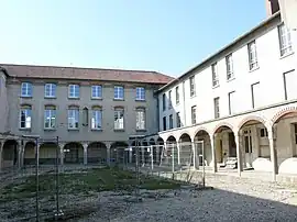 The former seminary, in Montmagny | |
.svg.png.webp) Coat of arms | |
Location of Montmagny | |
 Montmagny 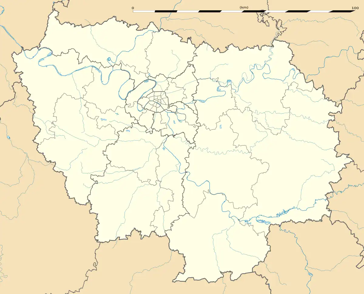 Montmagny | |
| Coordinates: 48°58′28″N 2°20′48″E | |
| Country | France |
| Region | Île-de-France |
| Department | Val-d'Oise |
| Arrondissement | Sarcelles |
| Canton | Deuil-la-Barre |
| Intercommunality | CA Plaine Vallée |
| Government | |
| • Mayor (2020–2026) | Patrick Floquet[1] |
| Area 1 | 2.91 km2 (1.12 sq mi) |
| Population | 14,550 |
| • Density | 5,000/km2 (13,000/sq mi) |
| Time zone | UTC+01:00 (CET) |
| • Summer (DST) | UTC+02:00 (CEST) |
| INSEE/Postal code | 95427 /95360 |
| 1 French Land Register data, which excludes lakes, ponds, glaciers > 1 km2 (0.386 sq mi or 247 acres) and river estuaries. | |
Transport
The north of Montmagny is served by the Deuil - Montmagny station and the south by the Épinay–Villetaneuse station, both on the Transilien Paris-Nord suburban rail network.
Population
| Year | Pop. | ±% p.a. |
|---|---|---|
| 1968 | 6,584 | — |
| 1975 | 7,382 | +1.65% |
| 1982 | 8,977 | +2.83% |
| 1990 | 11,505 | +3.15% |
| 1999 | 13,090 | +1.44% |
| 2007 | 14,037 | +0.88% |
| 2012 | 13,814 | −0.32% |
| 2017 | 14,173 | +0.51% |
| Source: INSEE[3] | ||
References
- "Répertoire national des élus: les maires". data.gouv.fr, Plateforme ouverte des données publiques françaises (in French). 2 December 2020.
- "Populations légales 2020". The National Institute of Statistics and Economic Studies. 29 December 2022.
- Population en historique depuis 1968, INSEE
External links
Wikimedia Commons has media related to Montmagny, Val-d'Oise.
- Official website (in French)
- Base Mérimée: Search for heritage in the commune, Ministère français de la Culture. (in French)
- Association of Mayors of the Val d'Oise (in French)
This article is issued from Wikipedia. The text is licensed under Creative Commons - Attribution - Sharealike. Additional terms may apply for the media files.