Moose Horn River
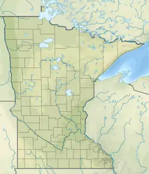
The Moose Horn River is a 36.4-mile-long (58.6 km)[1] tributary of the Kettle River in eastern Minnesota, United States. It is part of the St. Croix River watershed, flowing eventually to the Mississippi River.[2] It rises at the outlet of Wild River Lake, 7 miles (11 km) southwest of the city of Cloquet, and flows southwest through Carlton County, roughly parallel to Interstate 35. The river passes the communities of Mahtowa, Barnum, and Moose Lake, ending at the Kettle River southwest of the city of Sturgeon Lake.
| Moose Horn River | |
|---|---|
 Mouth | |
| Location | |
| Country | United States |
| State | Minnesota |
| County | Carlton County |
| Physical characteristics | |
| Source | |
| • coordinates | 46.6707782°N 92.6071382°W |
| Mouth | |
• coordinates | 46°21′50″N 92°50′41″W |
| Length | 36.4 mi-long (58.6 km) |
| Basin features | |
| Progression | Moose Horn River→ Kettle River→ St. Croix River→ Mississippi River→ Gulf of Mexico |
| River system | St. Croix River |
References
- U.S. Geological Survey. National Hydrography Dataset high-resolution flowline data. The National Map, accessed October 5, 2012
- U.S. Geological Survey Geographic Names Information System: Moose Horn River
- Minnesota Watersheds
- USGS Hydrologic Unit Map - State of Minnesota (1974)
This article is issued from Wikipedia. The text is licensed under Creative Commons - Attribution - Sharealike. Additional terms may apply for the media files.