Morville, Shropshire
Morville is a village and civil parish about 3 miles west of Bridgnorth, in the Shropshire district, in the county of Shropshire, England. In 2011, the parish had a population of 392.[1] The parish touches Acton Round, Astley Abbotts, Aston Eyre, Barrow, Bridgnorth, Chetton, Tasley and Upton Cressett.[2]

| Morville | |
|---|---|
 | |
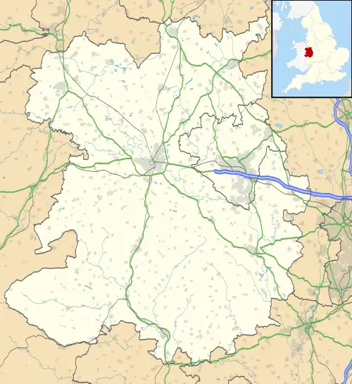 Morville Location within Shropshire | |
| Area | 16.0237 km2 (6.1868 sq mi) |
| Population | 392 (2011 census) |
| • Density | 24/km2 (62/sq mi) |
| Civil parish |
|
| Unitary authority | |
| Shire county | |
| Region | |
| Country | England |
| Sovereign state | United Kingdom |
| Website | https://morville-pc.gov.uk/ |
Landmarks
There are 20 listed buildings in Morville.[3] Morville has a church called St Gregory the Great.[4]
History
The generic part of the name "Morville" means 'open land'.[5] Morville was recorded in the Domesday Book as Membrefelde.[6]
See also
References
- "Morville". City Population De. Retrieved 3 April 2021.
- "Morville". Ordnance Survey. Retrieved 3 April 2021.
- "Listed buildings in Morville, Shropshire". British Listed Buildings. Retrieved 3 April 2021.
- "Morville: St Gregory the Great". A Church Near You. Retrieved 3 April 2021.
- "Morville Key to English Place-names". The University of Nottingham. Retrieved 3 April 2021.
- "Shropshire M-S". The Domesday Book Online. Retrieved 3 April 2021.
This article is issued from Wikipedia. The text is licensed under Creative Commons - Attribution - Sharealike. Additional terms may apply for the media files.