Mount Denucé
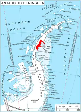
Mount Denucé (66°43′S 64°12′W) is a rounded mountain, 1,535 metres (5,040 ft) high, between Mount Hulth and Mount Haskell on the southwest side of Cabinet Inlet, on the east coast of Graham Land. It was charted by the Falkland Islands Dependencies Survey (FIDS) and photographed from the air by the Ronne Antarctic Research Expedition in December 1947. It was named by the FIDS for Jean Denucé, a Belgian polar bibliographer.[1]
| Mount Denucé | |
|---|---|
| |
| Highest point | |
| Elevation | 1,535 metres (5,040 ft) |
| Coordinates | 66°43′S 64°12′W |
References
![]() This article incorporates public domain material from "Denucé, Mount". Geographic Names Information System. United States Geological Survey.
This article incorporates public domain material from "Denucé, Mount". Geographic Names Information System. United States Geological Survey.
This article is issued from Wikipedia. The text is licensed under Creative Commons - Attribution - Sharealike. Additional terms may apply for the media files.