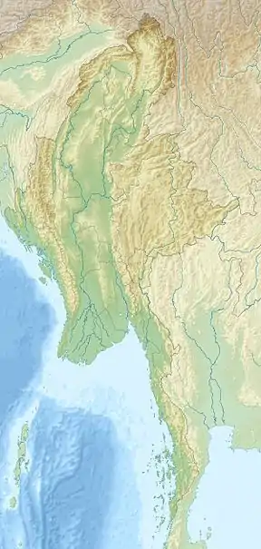
Mount Taungnyo
Mount Taungnyo is the mountain of the Tenasserim Range. It is located in Kayin State, Burma, close to the border with Thailand.
| Taungnyo | |
|---|---|
 Taungnyo Location in Burma | |
| Highest point | |
| Elevation | 931 m (3,054 ft) |
| Listing | List of Ultras of Southeast Asia |
| Coordinates | 15°23′2.2″N 98°7′21.1″E |
| Geography | |
| Location | Kayin State, Myanmar |
| Parent range | Tenasserim Range |
| Geology | |
| Type of rock | Granite, limestone |
| Climbing | |
| First ascent | unknown |
| Easiest route | climb |
The highest point nearby is Sedaung Taung 1,269 meters above sea level, 26.2 km west of Taungnyo Taung. The following mountains are in the Taungnyo Taung parts:
- Kaleiktok Taung
- Lepalaw Taung
- Mezali Taung
- Sedaung Taung
The temperature averages 21 °C. The warmest month is April, averaging 25 °C, and the coldest month is August, averaging 12 °C. The mountain gets 3321 mm of rain per year. On average, the wettest month is August (677 mm) and the driest is December (6 mm).
| Taungnyo Taung | ||||||||||||||||||||||||||||||||||||||||||||||||||||||||||||
|---|---|---|---|---|---|---|---|---|---|---|---|---|---|---|---|---|---|---|---|---|---|---|---|---|---|---|---|---|---|---|---|---|---|---|---|---|---|---|---|---|---|---|---|---|---|---|---|---|---|---|---|---|---|---|---|---|---|---|---|---|
| Climate chart (explanation) | ||||||||||||||||||||||||||||||||||||||||||||||||||||||||||||
| ||||||||||||||||||||||||||||||||||||||||||||||||||||||||||||
| ||||||||||||||||||||||||||||||||||||||||||||||||||||||||||||
See also
References
External links
- "Viewfinder Panoramas Digital elevation Model" (2015-6-21).
- "Taungnyo Taung" said"Geonames.org (cc-by)" Geonames.org; mail updated 2016-06-01; database download downloaded 2016-10-22
- "NASA Earth Observations: Population Density NASA/SEDAO
- "NASA Earth Observations: Land Cover Classification" NASA/MODES
- Peel, M C; Finlayson, B L."Updated world map of the Köppen-Geiger climate classification " Hydrology and Earth System Sciences 11: p. 1633–1644.
- "NASA Earth Observations Data set Index NASA
- "NASA Earth Observations: Rainfall (1 month-TRMM) NASA/Tropical Rainfall Monitoring Mission
- Peakbagger Taungnyo Taung, Myanmar.
This article is issued from Wikipedia. The text is licensed under Creative Commons - Attribution - Sharealike. Additional terms may apply for the media files.