Mount Titiraupenga
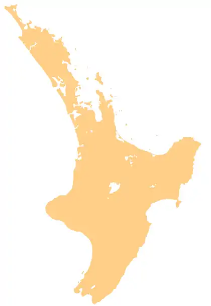
Titiraupenga (also known as Mount Titiraupenga) is an extinct 1,042 metres (3,419 ft)[1] high basaltic andesite stratovolcano[2] on whose southern slopes is located the geographical centre of the North Island of New Zealand. It is in the Pureora Forest Park between Lake Taupō and Te Kuiti on the North Island Volcanic Plateau in New Zealand. The area of the mountain is in a scenic reserve that is "recognised as one of the finest rain forests in the world".[3]
| Mount Titiraupenga | |
|---|---|
 Mount Titiraupenga | |
| Highest point | |
| Elevation | 1,042 m (3,419 ft)[1] |
| Coordinates | 38°30′36″S 175°41′31″E[1] |
| Geography | |
| Location | Waikato, New Zealand |
| Geology | |
| Age of rock | Pleistocene |
| Mountain type | Stratovolcano |
| Last eruption | 1.89 ± 0.02 Ma.[2] |
Geography
The mountain is covered in native forest and is in the southern Waikato region.
Geology
Mount Titiraupenga has a prominence above the surrounding countryside of about 350 m (1,150 ft) and a diameter of about 3.5 km (2.2 mi).[2] It is to the north east of a larger stratovolcano, Mount Pureora, and both are located to the south of the extinct Mangakino caldera on a basement of Waipapa composite terrane.[2] The basaltic andesite lavas are made up of plagioclase, clinopyroxene and orthopyroxene, with rare olivine and hornblende phenocrysts with an age of 1.89 ± 0.02 Ma.[2]
Access
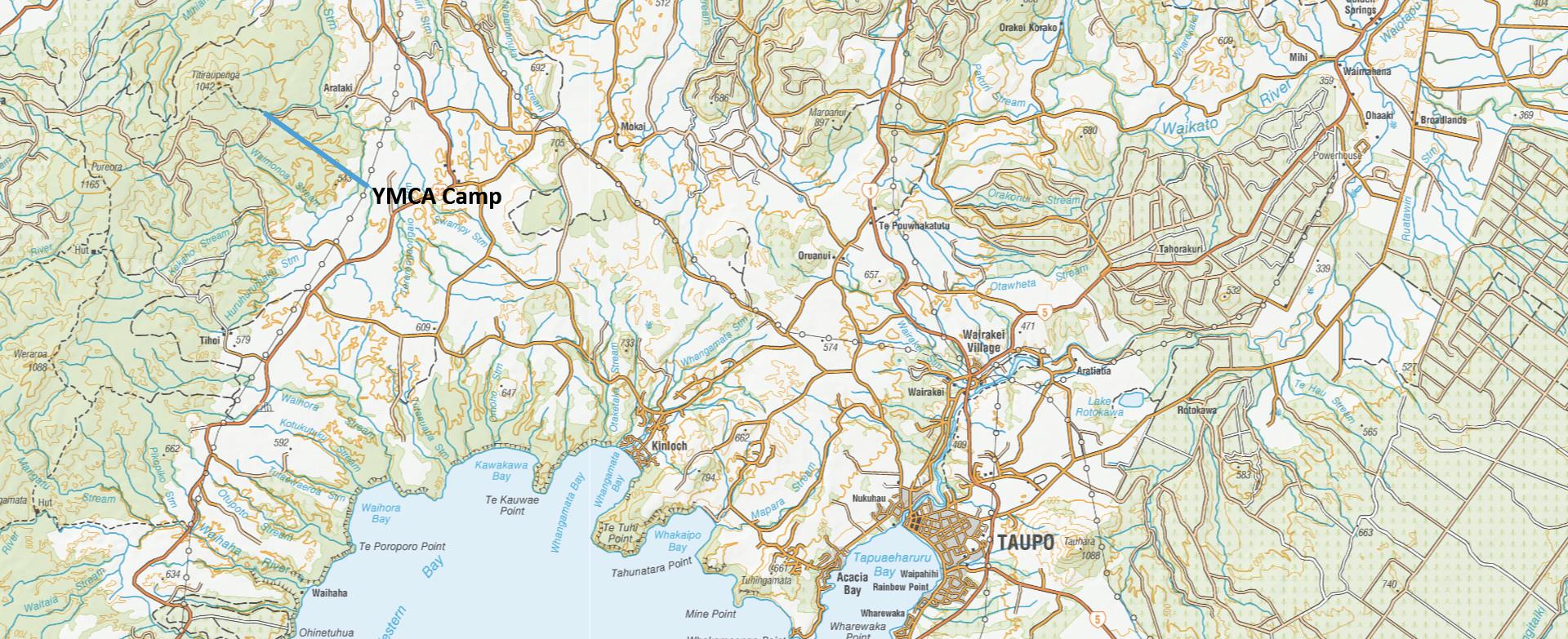
The nearest main roads are State Highway 30 and State Highway 32. There is road access to a track to the summit,[4] which also by a fair walk onwards gives access to the summit of Mount Pureora.[5]
References
- "NZTopoMap:Titiraupenga".
- Pittari, Adrian; Prentice, Marlena L.; McLeod, Oliver E.; Zadeh, Elham Yousef; Kamp, Peter J. J.; Danišík, Martin; Vincent, Kirsty A. (2021). "Inception of the modern North Island (New Zealand) volcanic setting: spatio-temporal patterns of volcanism between 3.0 and 0.9 Ma" (PDF). New Zealand Journal of Geology and Geophysics. 64 (2–3): 250–272. doi:10.1080/00288306.2021.1915343.
- "Walks in the Pureora Forest". Visit Ruapehu. Retrieved 23 November 2022.
- "Map of YMCA camp Park Lee". Retrieved 23 November 2022.
- "Pureora Forest Park". newzealand.com. New Zealand Tourism Board. Retrieved 23 November 2022.