Natmataung National Park
Natmataung National Park is a national park in Myanmar covering 275.3 sq mi (713 km2). It was established in 2010 and is listed as one of the ASEAN Heritage Parks.[1] In elevation, it ranges from 2,430 to 10,070 ft (740 to 3,070 m) surrounding Nat Ma Taung in Mindat and Kanpetlet Townships, Chin State. It was designated an Important Bird Area in 2004.[2]
| Natmataung National Park | |
|---|---|
| Burmese: (နတ်မတောင်အမျိုးသားဥယျာဉ် | |
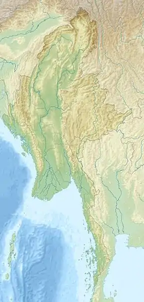 Location in Myanmar | |
| Location | Chin State, |
| Coordinates | 21°25′N 93°47′E |
| Area | 275.3 sq mi (713 km2)[1] |
| Established | 2010 |
| Governing body | Nature and Wildlife Conservation Division |
References
- World Database on Protected Areas (2019). "Natmataung National Park". Protected Planet.
- Beffasti, L.; Gallanti, V., eds. (2011). "Natma Taung". Myanmar Protected Areas: Context, Current Status and Challenges (PDF). Milano, Yangon: Istituto Oikos, Biodiversity and Nature Conservation Association. pp. 72–73.
External links
- BirdLife International (2019). "Important Bird Areas factsheet: Natmataung (Mount Victoria)".
| National parks |
|
|---|---|
| Wildlife Sanctuaries |
|
| Parks |
|
| Ramsar sites |
|
| |
This article is issued from Wikipedia. The text is licensed under Creative Commons - Attribution - Sharealike. Additional terms may apply for the media files.